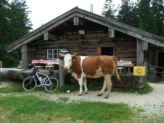
stetig, aber sehr moderat bergauf. Oben angelangt nehmt euch vor den Kühen in acht.... Es gibt recht angriffslustige Viecher. Ich habe heute meinen kleinen Torrero-Schein gemacht.
Nein nun aber Mal im Ernst, einen Stock dabei zu haben ist gar nicht so abwegig, denn die Hörner geben gut blaue Flecken.
Galerie du tour
Carte du tour et altitude
Minimum height 637 m
Maximum height 976 m
Commentaires

A8 Richtung Salzburg - Abfahrt Siegsdorf/Ruhpolding dann Richtung Ruhpolding - Lohen, da ich dort übernachtet habe...
Tracks GPS
Trackpoints-
GPX / Garmin Map Source (gpx) download
-
TCX / Garmin Training Center® (tcx) download
-
CRS / Garmin Training Center® (crs) download
-
Google Earth (kml) download
-
G7ToWin (g7t) download
-
TTQV (trk) download
-
Overlay (ovl) download
-
Fugawi (txt) download
-
Kompass (DAV) Track (tk) download
-
Feuille de tours (pdf) download
-
Original file of the author (gpx) download
Add to my favorites
Remove from my favorites
Edit tags
Open track
My score
Rate


