


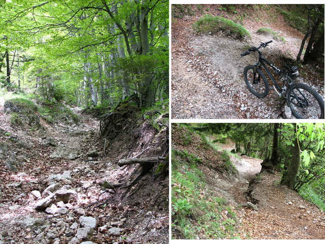
Landschaftlich sehr schöne Tour mit mässigem Anstieg. Auf dem Berg gibt es eine Hütte wo man Einkehren kann. Auf dem Trail vor dem Downhill welcher stellenweise sehr schwierig(aber Spassig :) ) ist gibt es ein paar ganz kurze Tragepassagen. Kurz vor Ende der Tour kann man noch einen kleinen Abstecher zum sv.Primož machen von wo man eine schöne Aussicht hat.
Habe die Tour nach Beschreibung einer Slowenischen Internetseite http://www.mtbture.com/tura_celotna.php?id=187 gefahren, leider gibt es dort keine GPS-Daten allerdings noch sehr viele weiter MTB-Touren.
Habe die Tour nach Beschreibung einer Slowenischen Internetseite http://www.mtbture.com/tura_celotna.php?id=187 gefahren, leider gibt es dort keine GPS-Daten allerdings noch sehr viele weiter MTB-Touren.
Further information at
http://www.mtbture.com/ture_spisek.phpGalerie du tour
Carte du tour et altitude
Minimum height 426 m
Maximum height 1502 m
More about the tour author

|
Lars |
Commentaires

Tracks GPS
Trackpoints-
GPX / Garmin Map Source (gpx) download
-
TCX / Garmin Training Center® (tcx) download
-
CRS / Garmin Training Center® (crs) download
-
Google Earth (kml) download
-
G7ToWin (g7t) download
-
TTQV (trk) download
-
Overlay (ovl) download
-
Fugawi (txt) download
-
Kompass (DAV) Track (tk) download
-
Feuille de tours (pdf) download
-
Original file of the author (gpx) download
More about the tour author
|
|
Lars |
Add to my favorites
Remove from my favorites
Edit tags
Open track
My score
Rate