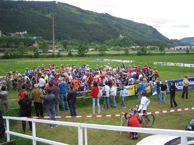
04.06.06 – Start ist am Reitplatz in Friesach. Dann kommt eine MTB-Runde bei der man über genügend Kondition und Technik verfügen sollte. Es geht über Dörfl, Micheldorf, Grafendorf, weiter nach Dobritsch, Zeltschach, Gaisberg und über Dürnstein wieder zurück zum Reitplatz. Eine tolle Strecke mit knackigen Anstiegen und rasanten Abfahrten.
Further information at
http://www.mtb-friesach.comGalerie du tour
Carte du tour et altitude
Minimum height 612 m
Maximum height 1302 m
Commentaires

Von der Bezirkshauptstadt St. Veit an der Glan (Plz 9300) die B317 nach Friesach (Plz 9360).
Tracks GPS
Trackpoints-
GPX / Garmin Map Source (gpx) download
-
TCX / Garmin Training Center® (tcx) download
-
CRS / Garmin Training Center® (crs) download
-
Google Earth (kml) download
-
G7ToWin (g7t) download
-
TTQV (trk) download
-
Overlay (ovl) download
-
Fugawi (txt) download
-
Kompass (DAV) Track (tk) download
-
Feuille de tours (pdf) download
-
Original file of the author (gpx) download
Add to my favorites
Remove from my favorites
Edit tags
Open track
My score
Rate


