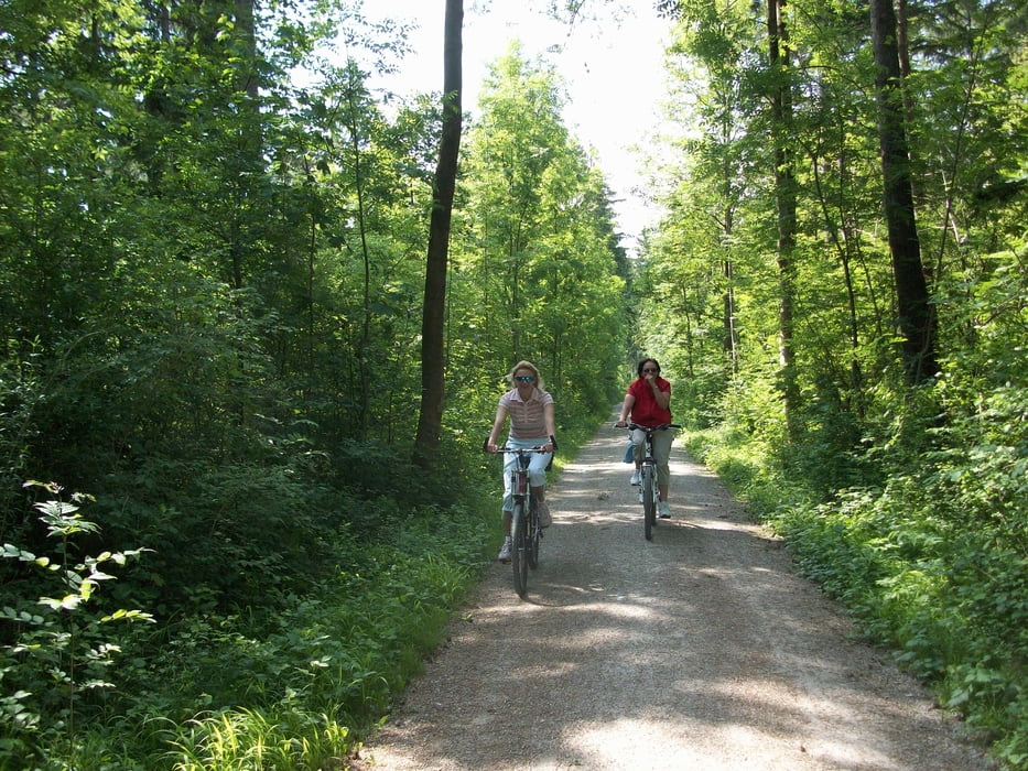
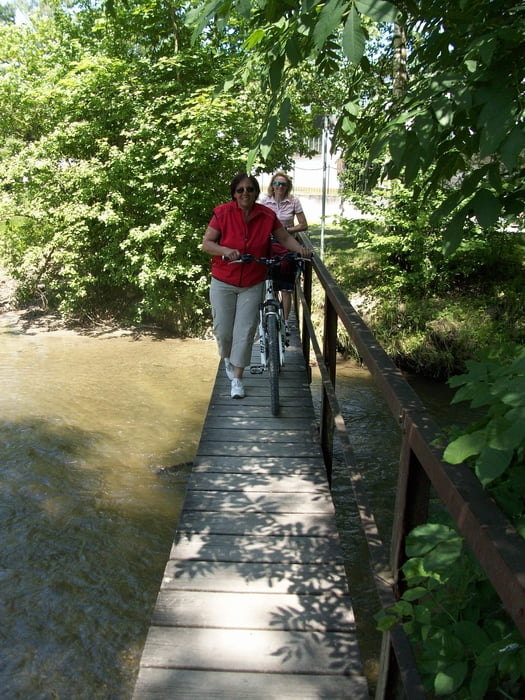
Die Rundtour führt zunächst von Königsbrunn am Ilsesee vorbei durch den Siebentischwald zum Hochablass und Kuhsee. Über Friedberg und Haberskirch (gute Einkehrmöglichkeit) geht es dann ins Paartal hinab nach Dasing. Der teils gut ausgebaute und beschilderte Radweg führt durch zahlreiche Ortschaften nach Mering. Auf Radweg und Lechstaustufe geht es dann wieder zurück nach Königsbrunn.
Galerie du tour
Carte du tour et altitude
Minimum height 468 m
Maximum height 525 m
Commentaires

Tracks GPS
Trackpoints-
GPX / Garmin Map Source (gpx) download
-
TCX / Garmin Training Center® (tcx) download
-
CRS / Garmin Training Center® (crs) download
-
Google Earth (kml) download
-
G7ToWin (g7t) download
-
TTQV (trk) download
-
Overlay (ovl) download
-
Fugawi (txt) download
-
Kompass (DAV) Track (tk) download
-
Feuille de tours (pdf) download
-
Original file of the author (gpx) download
Add to my favorites
Remove from my favorites
Edit tags
Open track
My score
Rate


