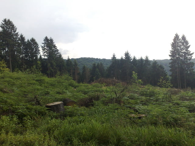
Eigentlich wollte ich die Talsperre ganz umrunden, musste aber wegen eines Wolkenbruchs abbrechen.
Die Tour führt auf ausgewiesenen Wanderwegen, die zumeist geschottert sind und PKW Breite haben rund um die Talsperre.
Die Ironoie des ganzen: Auf den letzten Metern kam die Sonne wieder raus.
Galerie du tour
Carte du tour et altitude
Minimum height 63 m
Maximum height 275 m
Commentaires

Tracks GPS
Trackpoints-
GPX / Garmin Map Source (gpx) download
-
TCX / Garmin Training Center® (tcx) download
-
CRS / Garmin Training Center® (crs) download
-
Google Earth (kml) download
-
G7ToWin (g7t) download
-
TTQV (trk) download
-
Overlay (ovl) download
-
Fugawi (txt) download
-
Kompass (DAV) Track (tk) download
-
Feuille de tours (pdf) download
-
Original file of the author (gpx) download
Add to my favorites
Remove from my favorites
Edit tags
Open track
My score
Rate


