


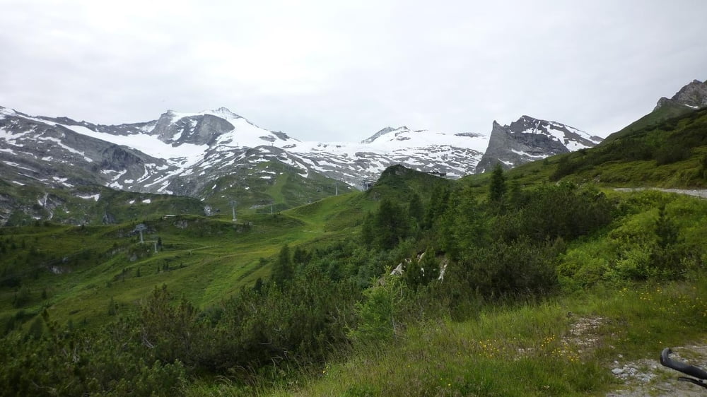
- Hintertux
- Tuxer Joch Haus
- Tuxer Joch
- Kasern
- Sankt Jodok am Brenner
- Gries am Brenner
- Vinader
- Sattelberg Alm
- Sattelberg
- Brenner Grenzkamm Strasse
- Monte San Lorenzo
- Colle Isarco
- Sterzing
- Ratschings
- Jaufental
- Tuxer Joch Haus
- Tuxer Joch
- Kasern
- Sankt Jodok am Brenner
- Gries am Brenner
- Vinader
- Sattelberg Alm
- Sattelberg
- Brenner Grenzkamm Strasse
- Monte San Lorenzo
- Colle Isarco
- Sterzing
- Ratschings
- Jaufental
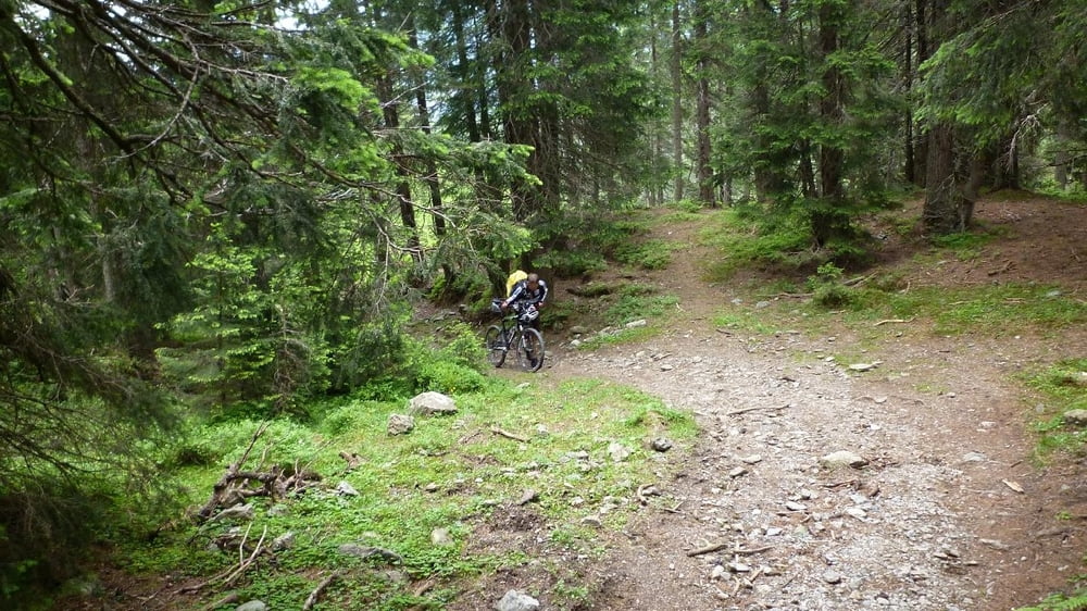
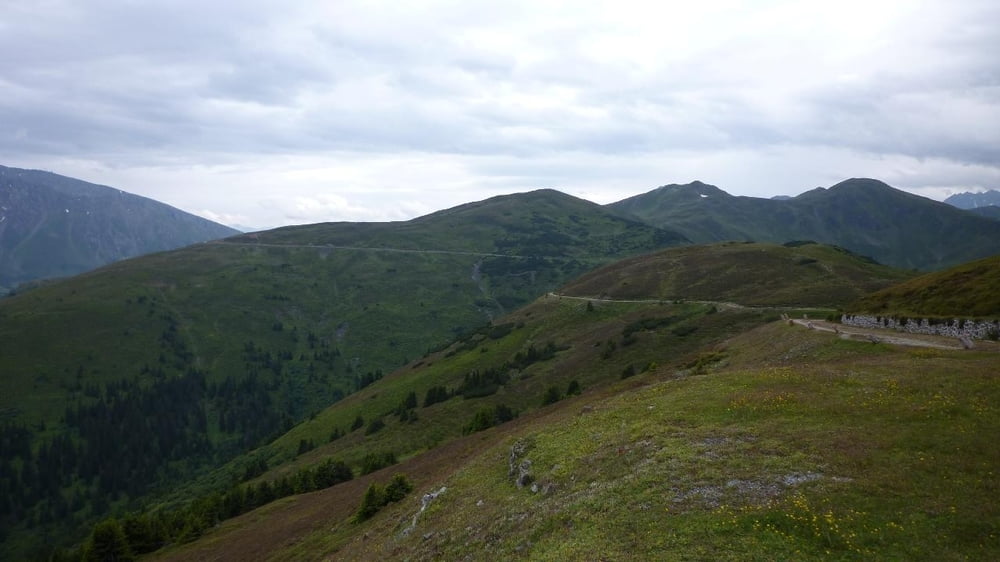
Galerie du tour

Carte du tour et altitude
Minimum height 941 m
Maximum height 2335 m
More about the tour author

|
Commentaires

Tracks GPS
Trackpoints-
GPX / Garmin Map Source (gpx) download
-
TCX / Garmin Training Center® (tcx) download
-
CRS / Garmin Training Center® (crs) download
-
Google Earth (kml) download
-
G7ToWin (g7t) download
-
TTQV (trk) download
-
Overlay (ovl) download
-
Fugawi (txt) download
-
Kompass (DAV) Track (tk) download
-
Feuille de tours (pdf) download
-
Original file of the author (gpx) download
More about the tour author
|
|
Add to my favorites
Remove from my favorites
Edit tags
Open track
My score
Rate