


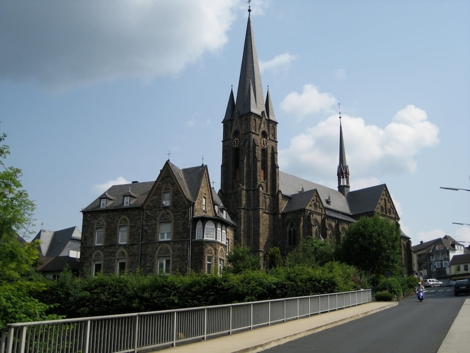
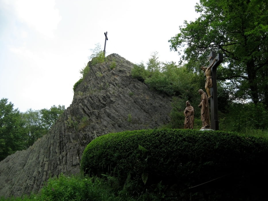
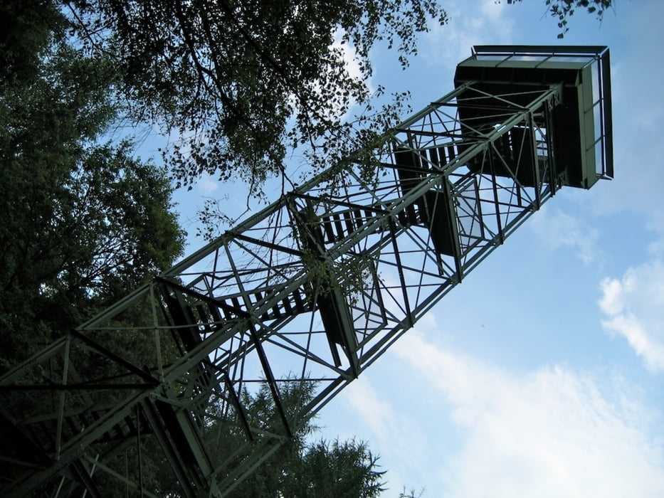
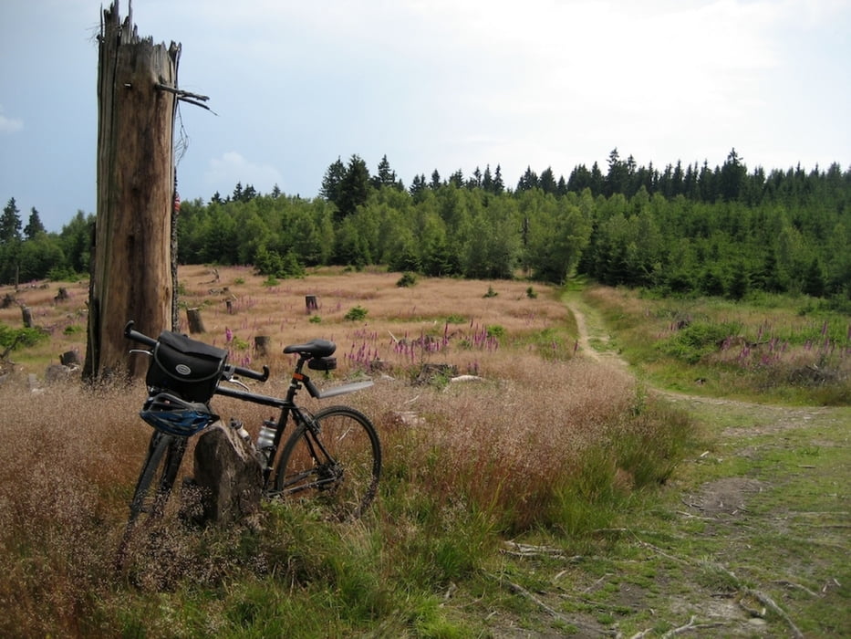
Von Grevenbrück Radweg durchs Veischedetal. Am Kreisverkehr auf der Griesemert über den links und sofort rechts runter nach Olpe. 2-Länder-Radweg über Rothemühle, Heid, Bahnhof Wildenberg, durch den Hohenhainer Tunnel, Freudenberg, Niederfischbach, Kirchen. Jetzt hoch, über Henkersdorf, zum Druidenstein. Über den Höhenweg, vorbei an Kreuzeiche und Aussichtsturm Pfannenberg nach Wilnsdorf. Radweg Richtung Wilgersdorf und von dort Zuwanderweg zum Rothaarsteig. Tiefenrother Höhe, Haincher Höhe, Jagdberg. Eisenstraße am Lahnhof vorbei nach Lützel und sofort wieder hoch zum Giller (evtl. Abstecher zur Ginsburg). Weiter zur Ferndorfquelle und runter nach Heinsberg. Von dort über Straße zurück nach Grevenbrück (ab Altenhundem Radweg)
Galerie du tour
Carte du tour et altitude
Minimum height 200 m
Maximum height 670 m
More about the tour author

|
macwilli |
Commentaires

Tracks GPS
Trackpoints-
GPX / Garmin Map Source (gpx) download
-
TCX / Garmin Training Center® (tcx) download
-
CRS / Garmin Training Center® (crs) download
-
Google Earth (kml) download
-
G7ToWin (g7t) download
-
TTQV (trk) download
-
Overlay (ovl) download
-
Fugawi (txt) download
-
Kompass (DAV) Track (tk) download
-
Feuille de tours (pdf) download
-
Original file of the author (gpx) download
More about the tour author
|
|
macwilli |
Add to my favorites
Remove from my favorites
Edit tags
Open track
My score
Rate