
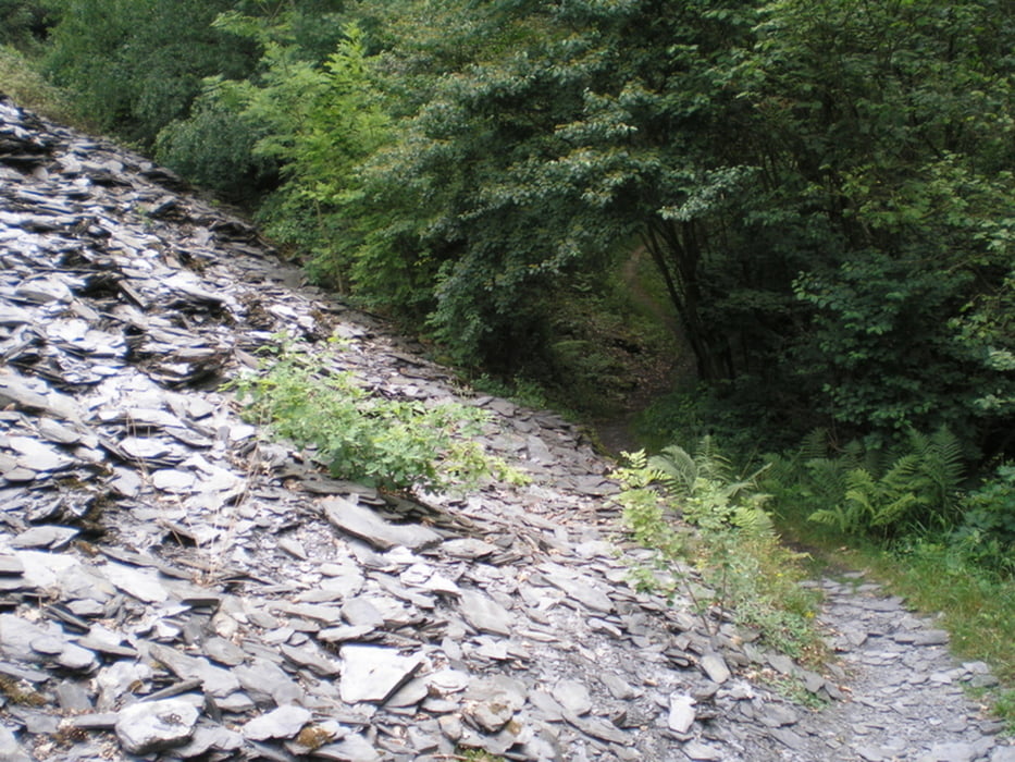

Absolut sehenswerter Wanderweg aus der Traumpfadreihe - TOP !!
Galerie du tour


Carte du tour et altitude
Minimum height 171 m
Maximum height 314 m
More about the tour author
|
|
Heinrichs |
Commentaires
Eine anfahrtsbeschreibung findet ihr am besten unter
Dort den heimatstandort markieren, den startpunkt N50 19.397 E7 17.946 einkopieren und sich eine Route ausgeben lassen
Tracks GPS
Trackpoints-
GPX / Garmin Map Source (gpx) download
-
TCX / Garmin Training Center® (tcx) download
-
CRS / Garmin Training Center® (crs) download
-
Google Earth (kml) download
-
G7ToWin (g7t) download
-
TTQV (trk) download
-
Overlay (ovl) download
-
Fugawi (txt) download
-
Kompass (DAV) Track (tk) download
-
Feuille de tours (pdf) download
-
Original file of the author (gpx) download
More about the tour author
|
|
Heinrichs |
Add to my favorites
Remove from my favorites
Edit tags
Open track
My score
Rate
Einkehrmöglichkeit in Hausen
auch wir sind den Nette-Schieferpfad gewandert.
Leider sind am Startort Trims die Einkehrmöglichkeiten unter der Woche schlecht.
In Hausen gibt es noch die alte Bahnhofgaststätte "Neiß"! Nach einer Apfelschorle weiter über der Radweg über den Viadukt durch den 1. Tunnel stößt man vor dem 2. Tunnel wieder auf den Traumpfad.
Den Radweg bin ich schn 1000 mal mit dem Rad gefahren, per Pedes ein ganz anderes Gefühl.
Gruß aus der Pellenz