


Tour 09 des Rother Wanderführers.
Gelaufen am 17.6.2009
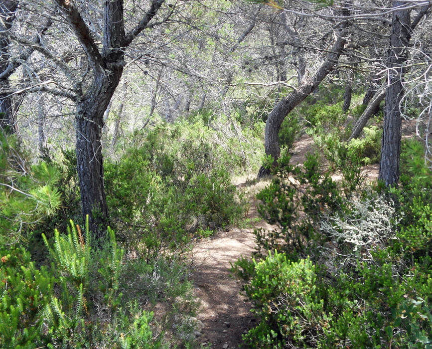
Die Wegbeschreibung im Buch ist manchmal etwas interpretationsbedürftig. :-) wir sind eine Passage 2mal gegangen.....keine Sorge, ist bei der gpx-Datei korrigiert....
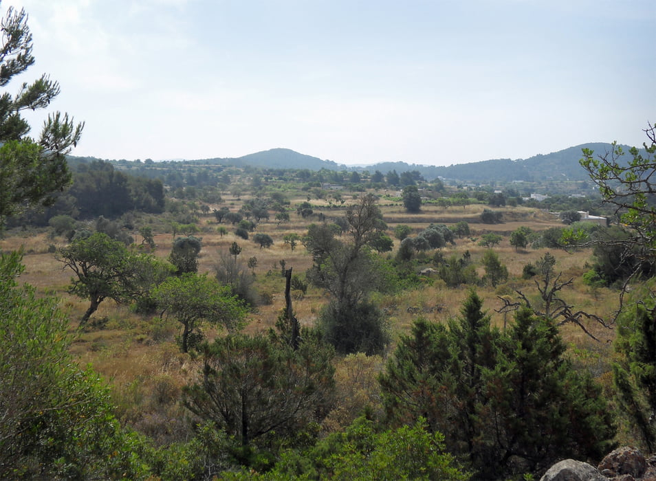
Man hat einen grandiosen Ausblick von den Klippen. und es ist dort eine himmlische Ruhe.
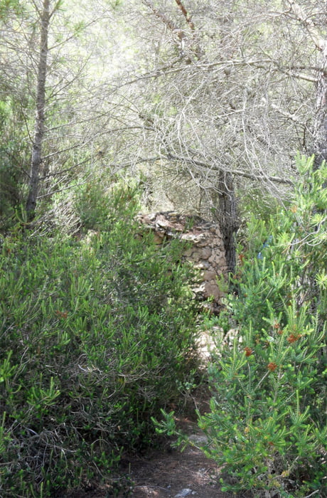
der Abstieg zu der verlassenen Siedlung ist recht steil, auf dem Weg muss man wieder hoch, Schweissperlen sind garantiert.
bei dem Brunnen muss man den Hauptweg erlassen und abbiegen, sehr schwer zu finden.
Galerie du tour
Carte du tour et altitude
Minimum height 16 m
Maximum height 196 m
More about the tour author
|
|
JP |
Commentaires

Parkplatz Santa Agnes ist der Ausgangspunkt, da kommt man mit dem Auto am besten hin.
Tracks GPS
Trackpoints-
GPX / Garmin Map Source (gpx) download
-
TCX / Garmin Training Center® (tcx) download
-
CRS / Garmin Training Center® (crs) download
-
Google Earth (kml) download
-
G7ToWin (g7t) download
-
TTQV (trk) download
-
Overlay (ovl) download
-
Fugawi (txt) download
-
Kompass (DAV) Track (tk) download
-
Feuille de tours (pdf) download
-
Original file of the author (gpx) download
More about the tour author
|
|
JP |
Add to my favorites
Remove from my favorites
Edit tags
Open track
My score
Rate