
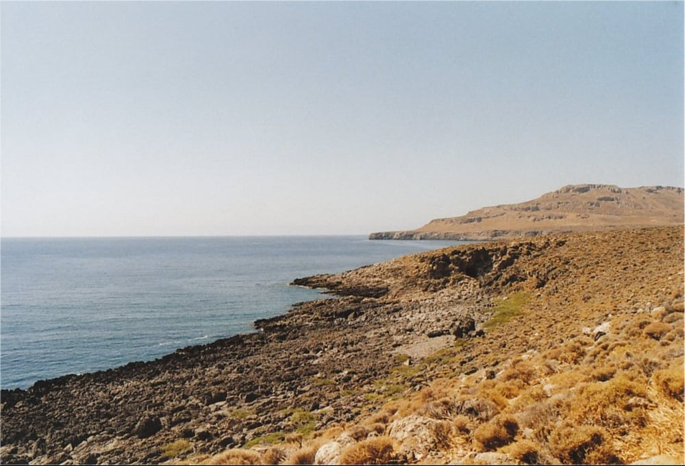

This is a hiking-track in the area of Kato Zakros (Eastern End of Crete).
It is a nice trip above the Eastern coast to a small, rarely visited cave. You can take the same track for both ways (the provided GPX-file only covers one way), or take an alternative route which leads back to Kato Zakros over the Skopeli-Summit. This track starts at the cave and seems to be waymarked, but it takes about 4 hours and good climbing skills are needed.
If you want to visit the cave, you should take a pocket lamp with you. An earthpath leads down deeper into the cave.
The walk is very well waymarked with signs and it is fairly easy to walk.
Take a good amount of water with you, because there is virtually no shadow on the way.
Further information at
http://www.stelapts.com/Galerie du tour

Carte du tour et altitude
Minimum height -3 m
Maximum height 92 m
More about the tour author
|
|
Kretakulk |
Commentaires

Drive down to Kato Zakros and continue past the Taverns at the beach and then turn right directly after the last tavern. This is the start of the way to Pelekita Cave. You can follow the brown-yellow signs.
Tracks GPS
Trackpoints-
GPX / Garmin Map Source (gpx) download
-
TCX / Garmin Training Center® (tcx) download
-
CRS / Garmin Training Center® (crs) download
-
Google Earth (kml) download
-
G7ToWin (g7t) download
-
TTQV (trk) download
-
Overlay (ovl) download
-
Fugawi (txt) download
-
Kompass (DAV) Track (tk) download
-
Feuille de tours (pdf) download
-
Original file of the author (gpx) download
More about the tour author
|
|
Kretakulk |
Add to my favorites
Remove from my favorites
Edit tags
Open track
My score
Rate