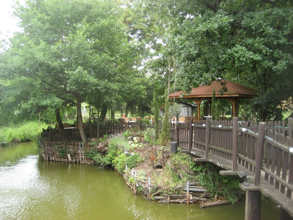
Diese Strecke meines Schwagers haben wir an zwei Tagen bewätigt. Die Übernachtung und der Ausgangspunkt unserer zwei Touren auf dem Annagut haben zu zwei wunderschönen Tagen in der Pfalz beigetragen. Eine Tolle Region mit landschaftlichen und kulinarischen Höhepunkten.
Galerie du tour
Carte du tour et altitude
Minimum height 224 m
Maximum height 608 m
Commentaires

Tracks GPS
Trackpoints-
GPX / Garmin Map Source (gpx) download
-
TCX / Garmin Training Center® (tcx) download
-
CRS / Garmin Training Center® (crs) download
-
Google Earth (kml) download
-
G7ToWin (g7t) download
-
TTQV (trk) download
-
Overlay (ovl) download
-
Fugawi (txt) download
-
Kompass (DAV) Track (tk) download
-
Feuille de tours (pdf) download
-
Original file of the author (gpx) download
Add to my favorites
Remove from my favorites
Edit tags
Open track
My score
Rate


