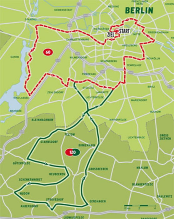
Rund um die Hauptstadt seine Runden zu drehen, ist schon etwas besonderes. Leider bietet sich die Gelegenheit einer autofreien Strecke nicht häufig, aber dennoch sind recht schöne Passagen dabei, die auch mit Verkehr zu fahren sind.
Start und Ziel ist Rund um das Brandenburger Tor.
Galerie du tour
Carte du tour et altitude
Minimum height -12 m
Maximum height 66 m
Commentaires

Tracks GPS
Trackpoints-
GPX / Garmin Map Source (gpx) download
-
TCX / Garmin Training Center® (tcx) download
-
CRS / Garmin Training Center® (crs) download
-
Google Earth (kml) download
-
G7ToWin (g7t) download
-
TTQV (trk) download
-
Overlay (ovl) download
-
Fugawi (txt) download
-
Kompass (DAV) Track (tk) download
-
Feuille de tours (pdf) download
-
Original file of the author (gpx) download
Add to my favorites
Remove from my favorites
Edit tags
Open track
My score
Rate


