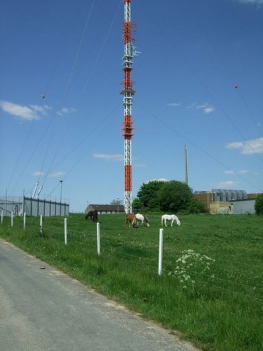
eine fast reine Straßentour - bis auf ein kleines Waldstück am Ende - kann also auch mit dem Rennrad gefahren werden - eine Feierabendtour, die sich herrlich dazu eignet mal schnell nach der Arbeit abschalten zu können....
Galerie du tour
Carte du tour et altitude
Minimum height 62 m
Maximum height 189 m
Commentaires

Anfahrt hatte ich keine - also von der Haustür aus - wer sie aber nachfahren möchte, der sollte in Ottmarsbocholt am Parkplatz Hölschers Kuhle starten - das ist in unmittelbarer Nähe der Kirche.
Tracks GPS
Trackpoints-
GPX / Garmin Map Source (gpx) download
-
TCX / Garmin Training Center® (tcx) download
-
CRS / Garmin Training Center® (crs) download
-
Google Earth (kml) download
-
G7ToWin (g7t) download
-
TTQV (trk) download
-
Overlay (ovl) download
-
Fugawi (txt) download
-
Kompass (DAV) Track (tk) download
-
Feuille de tours (pdf) download
-
Original file of the author (gpx) download
Add to my favorites
Remove from my favorites
Edit tags
Open track
My score
Rate


