Login

Login oublié ?

Cookies have to be accepted!
Your browser's cookie functionality is disabled. Please enable this functionality.

Not a member yet?

Register now
Login

Available for registred users only

Log in to use this feature.

Login oublié ?

Cookies have to be accepted!
Your browser's cookie functionality is disabled. Please enable this functionality.

Not a member yet?

Register now
Filter
Catégories
Advanced filters
  • Longueur (km)
  • Altimètre
Enregistrer le filtre Reset filter

TrackRank

QRCode

Technical data

Longueur111,6 km Altimètre355 m Way down966 m Durée05:00 h:m Date17.07.2009
Evaluations Author Paysage Aspect amusement Condition Technique

Statistiques

1107 Vues Evaluations 186 Téléchargements Moyenne
Rate
  • Feuille de tours
  • Arrivée
  • Téléchargements

Anfahrt zum Urnagold  mit dem Velobus www.suedwestbus.de/pdf/velobus-flyer_2009.pdf ab Pforzheim Hauptbahnhof

weitere Infos unter  www.nagoldtalradweg.de/ 

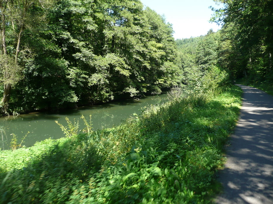
Zwischen Erzgrube und Altensteig sind wir auf der Landstraße gefahren.

Galerie du tour

Carte du tour et altitude

  • Open Street Map
  • Google
Minimum height 218 m Maximum height 829 m Vue de détail

More about the tour author

teaman
Member since 2009

Send private message

Commentaires

Tracks GPS

Trackpoints
  • GPX / Garmin Map Source (gpx) download
  • TCX / Garmin Training Center® (tcx) download
  • CRS / Garmin Training Center® (crs) download
  • Google Earth (kml) download
  • G7ToWin (g7t) download
  • TTQV (trk) download
  • Overlay (ovl) download
  • Fugawi (txt) download
  • Kompass (DAV) Track (tk) download
  • Feuille de tours (pdf) download
  • Original file of the author (gpx) download

More about the tour author

teaman
Member since 2009

Send private message
Share track
Add to my favorites
Remove from my favorites
Edit tags
My score
Rate
Tour: Nagoldtalradweg vom Urnagold nach Mühlacker Mühlhausen.
Cat.: Trekkingbike
Longueur: 111,6 km
Evaluated on:
Durée:
Day(s)
Hour(s)
Minute(s)
Evaluation: Paysage Aspect amusement Condition Technique