Die Tour beginnt in Wilnsdorf Bauhof.
Dort ist ein Parkplatz, und sogar eine Wohnmobilentsorgung.
Dann gehts hinauf Richtung Kalteiche, über die Höhe nach Wilgersdorf, und wieder zurück nach Wilnsdorf.
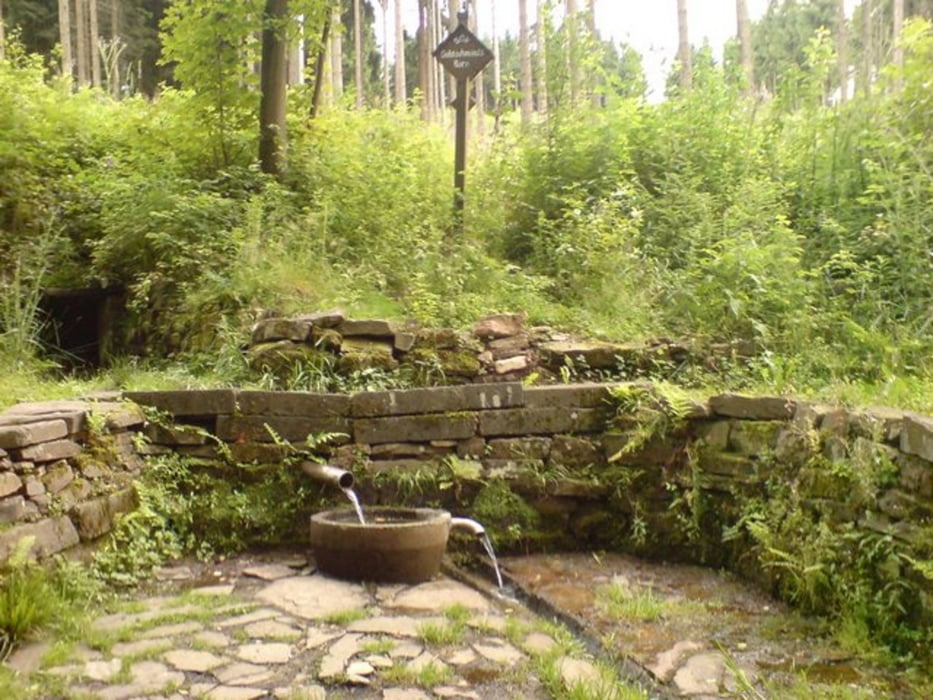
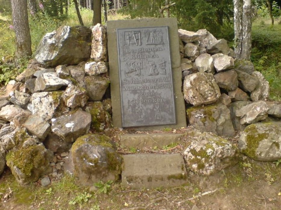
Unterwegs gibts viele Stollen, einige Quellen, und schöne Ausblicke
Galerie du tour
Carte du tour et altitude
Minimum height 413 m
Maximum height 553 m
Commentaires

Die Tour beginnt in Wilnsdorf Bauhof.
Meine Tour begann auf der Höhe, kurz vor Briedoffelsloch,
die Höhenangaben sind daher um ca. 5 km zu verschieben
Tracks GPS
Trackpoints-
GPX / Garmin Map Source (gpx) download
-
TCX / Garmin Training Center® (tcx) download
-
CRS / Garmin Training Center® (crs) download
-
Google Earth (kml) download
-
G7ToWin (g7t) download
-
TTQV (trk) download
-
Overlay (ovl) download
-
Fugawi (txt) download
-
Kompass (DAV) Track (tk) download
-
Feuille de tours (pdf) download
-
Original file of the author (gpx) download
Add to my favorites
Remove from my favorites
Edit tags
Open track
My score
Rate


