Login

Login oublié ?

Cookies have to be accepted!
Your browser's cookie functionality is disabled. Please enable this functionality.

Not a member yet?

Register now
Login

Available for registred users only

Log in to use this feature.

Login oublié ?

Cookies have to be accepted!
Your browser's cookie functionality is disabled. Please enable this functionality.

Not a member yet?

Register now
Filter
Catégories
Advanced filters
  • Longueur (km)
  • Altimètre
Enregistrer le filtre Reset filter

TrackRank

QRCode

Technical data

Longueur29,3 km Altimètre1087 m Way down m Durée03:30 h:m Date20.07.2009
Evaluations Author Paysage Aspect amusement Condition Technique

Statistiques

354 Vues Evaluations 18 Téléchargements Moyenne
Rate
  • Feuille de tours
  • Arrivée
  • Téléchargements
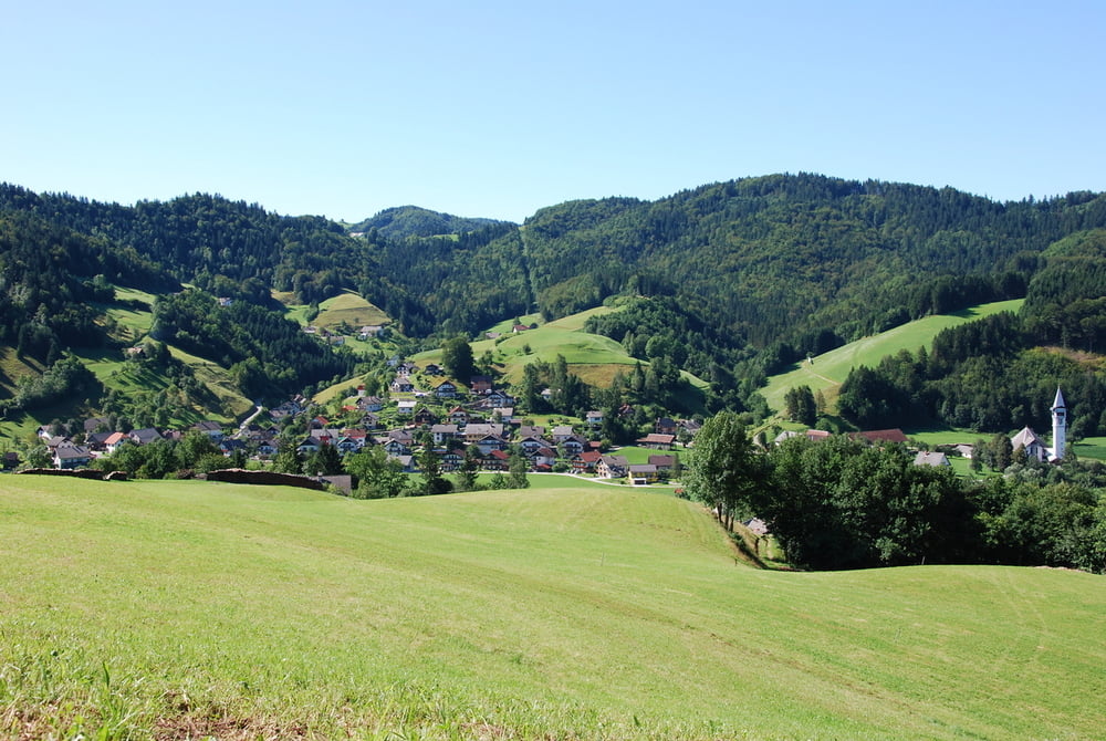
Lepa krožna turca, skoraj 100% po asfaltnih poteh, precej senčna, odpirajo se čudoviti pogledi na okoliško hribovje in lepe travnike.

Galerie du tour

Carte du tour et altitude

  • Open Street Map
  • Google
Minimum height 392 m Maximum height 933 m Vue de détail

More about the tour author

fr1k60
Member since 2009

Send private message

Commentaires

Start in cilj je na parkirišču pod pokopališčem v Poljanah.

Tracks GPS

Trackpoints
  • GPX / Garmin Map Source (gpx) download
  • TCX / Garmin Training Center® (tcx) download
  • CRS / Garmin Training Center® (crs) download
  • Google Earth (kml) download
  • G7ToWin (g7t) download
  • TTQV (trk) download
  • Overlay (ovl) download
  • Fugawi (txt) download
  • Kompass (DAV) Track (tk) download
  • Feuille de tours (pdf) download
  • Original file of the author (gpx) download

More about the tour author

fr1k60
Member since 2009

Send private message
Share track
Add to my favorites
Remove from my favorites
Edit tags
My score
Rate
Tour: Po zaselkih severno od Poljan
Cat.: Touring vélo
Longueur: 29,3 km
Evaluated on:
Durée:
Day(s)
Hour(s)
Minute(s)
Evaluation: Paysage Aspect amusement Condition Technique