

Die Tour hat von allem etwas (Schotterwege, Straßen, Singletrails, Downhill). Schaut euch die Bilder an und entscheidet selbst.
Viel Spaß.
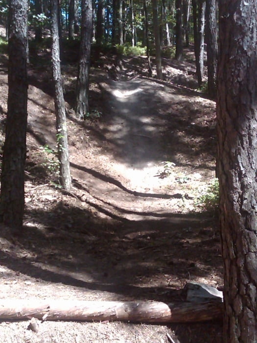
Galerie du tour


Carte du tour et altitude
Minimum height 267 m
Maximum height 546 m
More about the tour author
|
|
quest3581 |
Commentaires
Die Tour startet in Goberg am Bahnhof.
Tracks GPS
Trackpoints-
GPX / Garmin Map Source (gpx) download
-
TCX / Garmin Training Center® (tcx) download
-
CRS / Garmin Training Center® (crs) download
-
Google Earth (kml) download
-
G7ToWin (g7t) download
-
TTQV (trk) download
-
Overlay (ovl) download
-
Fugawi (txt) download
-
Kompass (DAV) Track (tk) download
-
Feuille de tours (pdf) download
-
Original file of the author (gpx) download
More about the tour author
|
|
quest3581 |
Add to my favorites
Remove from my favorites
Edit tags
Open track
My score
Rate
Coole Trails aber viel Straße
Die Anfahrt ist aber echt besch..., hab schon gedacht ich hab ne Rennradtour draufgeladen.
Die Trail entschädigen aber für alles.
Beim Nachfahren viel Zeit bei den Trails am Rathsberg einplanen. min 1Std.
Gruß
Rossifumi
der Rathsberg......