
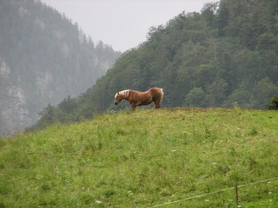

Hier eine kleine Runde um Ruhpolding, leider war ein Fehler im Tracking, bitte ignorieren. Die Strecke verläuft teilweise entlang der "Ruhpoldinger Dorfrunde" vom Radl Sepp.
Carte du tour et altitude
Minimum height 263 m
Maximum height 741 m
More about the tour author
|
|
Ulli1962 |
Commentaires

Tracks GPS
Trackpoints-
GPX / Garmin Map Source (gpx) download
-
TCX / Garmin Training Center® (tcx) download
-
CRS / Garmin Training Center® (crs) download
-
Google Earth (kml) download
-
G7ToWin (g7t) download
-
TTQV (trk) download
-
Overlay (ovl) download
-
Fugawi (txt) download
-
Kompass (DAV) Track (tk) download
-
Feuille de tours (pdf) download
-
Original file of the author (gpx) download
More about the tour author
|
|
Ulli1962 |
Add to my favorites
Remove from my favorites
Edit tags
Open track
My score
Rate