


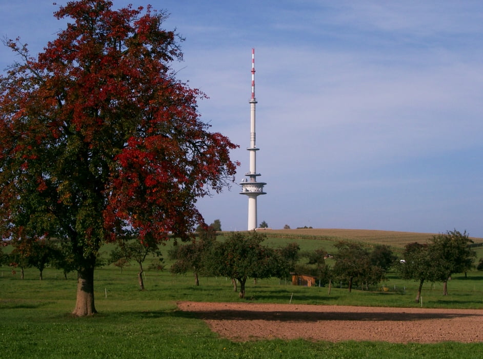
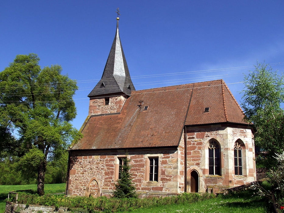
Mudau Bahnhof 456hm - Steinbach 450 hm (Abstecher zum Kletterpark - www.eventurepark.de möglich) 400 hm - Rumpfen 450hm - Langenelz 440 hm - Scheidental 500 hm- Reisenbach (Fernsehturm) 549 hm - Eduardsthal 340 hm (ehem. Dorf Galmbach) - Waldauerbach 519 hm (Anni´s Vesperhütte Tel. 06284-929455 - Voranmeldung vorteilhaft) - Schloßau 481 hm - Teufelsklinge - Ernsttal 298hm (ehem. Dorf Neubrunn) - Schloss Waldleiningen 350 hm - Mörschenhardt 484 hm - Donebach 463 hm - Ünglert 389 hm - Mudau - Mudau Bahnhof 456 hm
Die Höhenangaben bzw. das Profil des GPS Trackers waren leider teilweise fehlerhaft, deshalb die Höhenmeterangaben aus der Landkarte anbei. Es geht Bergab und Bergauf doch bei weitem nicht so schlimm, wie es das Profil vermuten lässt. Höchster Punkt 539 hm. Tiefster Punkt 298 hm.
Further information at
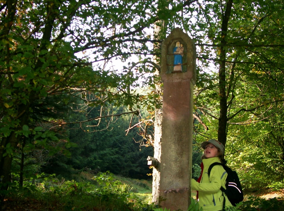
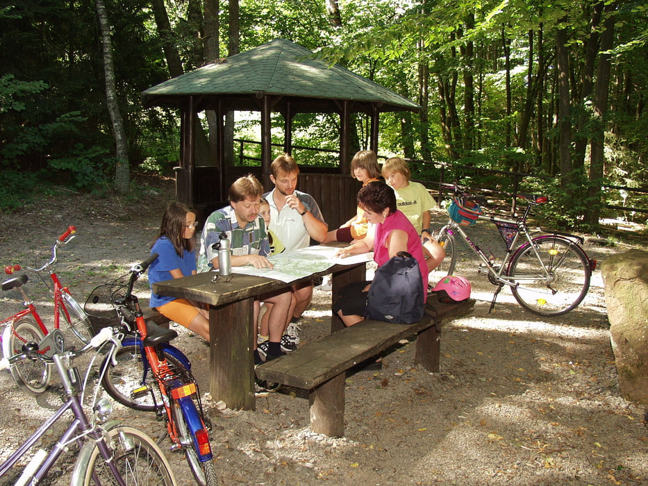
http://www.Faszination-Mudau.deGalerie du tour
Carte du tour et altitude
Minimum height 92 m
Maximum height 608 m
More about the tour author

|
smg |
Commentaires

Start und Ziel der Tour ist der Kreisverkehr am "Alten Bahnhof" in 69428 Mudau - Ausreichend Parkmöglichkeiten sind vorhanden.
Tracks GPS
Trackpoints-
GPX / Garmin Map Source (gpx) download
-
TCX / Garmin Training Center® (tcx) download
-
CRS / Garmin Training Center® (crs) download
-
Google Earth (kml) download
-
G7ToWin (g7t) download
-
TTQV (trk) download
-
Overlay (ovl) download
-
Fugawi (txt) download
-
Kompass (DAV) Track (tk) download
-
Feuille de tours (pdf) download
-
Original file of the author (gpx) download
More about the tour author
|
|
smg |
Add to my favorites
Remove from my favorites
Edit tags
Open track
My score
Rate