

Eine von vielen genialen Touren Rund um Oberstdorf. Der Höhepunkt der Tour war sicherlich das Gipfelkreuz auf dem Riedberger Horn. Wer sich die kräfteraubende Schiebepassage dorthin ersparen möchte kann auch über den Riedberger Sattel abkürzen und direkt zur Grasgehren Alpe fahren. Die Gulaschsuppe ist dort sehr zu empfehlen und gibt Kraft für weitere Höhenmeter ;o)
Die Tour führt von Oberstdorf aus durchs Bolgental zum Riedberger Horn. Von dort aus übers Lochbachtal nach Rohrmoos (kurzes Schiebestück). Weiter geht es dann über Riezlern zurück nach Oberstdorf (Tiefenbach).
VIEL SPASS AUF EINER GENIALEN RUNDE !!!
Die Tour führt von Oberstdorf aus durchs Bolgental zum Riedberger Horn. Von dort aus übers Lochbachtal nach Rohrmoos (kurzes Schiebestück). Weiter geht es dann über Riezlern zurück nach Oberstdorf (Tiefenbach).
VIEL SPASS AUF EINER GENIALEN RUNDE !!!
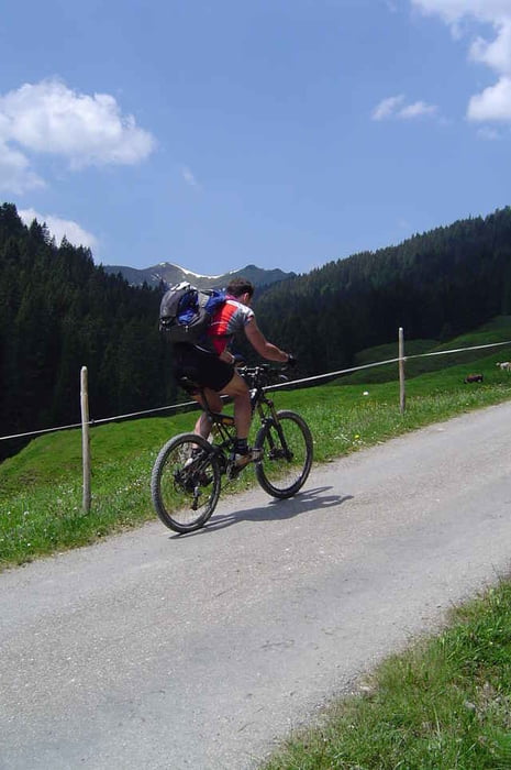
Galerie du tour

Carte du tour et altitude
Minimum height 803 m
Maximum height 1792 m
More about the tour author
|
|
Captain |
Commentaires
Wir sind in Tiefenbach (Oberstdorf) am Gästehaus Tanneck (Im Weidach) gestartet.
Tracks GPS
Trackpoints-
GPX / Garmin Map Source (gpx) download
-
TCX / Garmin Training Center® (tcx) download
-
CRS / Garmin Training Center® (crs) download
-
Google Earth (kml) download
-
G7ToWin (g7t) download
-
TTQV (trk) download
-
Overlay (ovl) download
-
Fugawi (txt) download
-
Kompass (DAV) Track (tk) download
-
Feuille de tours (pdf) download
-
Original file of the author (gpx) download
More about the tour author
|
|
Captain |
Add to my favorites
Remove from my favorites
Edit tags
Open track
My score
Rate
RIEDBERGER HORN
Allgäu