
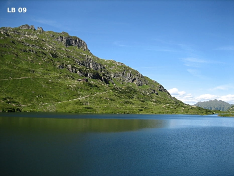

Die Wanderung zu den Giglachseen in der Dachstein Tauern Region beginnt beim Parkplatz kurz vor der Ursprungalm auf 1.600m. Von Pichl-Preunegg oder Rohrmoos erreicht man den Parkplatz recht bequem über die bemautete Schotterstraße. Schon bei der Anfahrt hat man viele tolle Aussichtspunkte. Speziell ab der Moarhofalm bis zur Ursprungalm hat man talauswärts einen wunderbaren Blick auf den Dachstein.
Weitere Infos und Fotos zum Wandern auf der Ursprungalm und zu den Giglachseen findest du auf
biketours4you.at
Carte du tour et altitude
Minimum height 1486 m
Maximum height 1991 m
More about the tour author
|
|
Trek1400d |
Commentaires

Tracks GPS
Trackpoints-
GPX / Garmin Map Source (gpx) download
-
TCX / Garmin Training Center® (tcx) download
-
CRS / Garmin Training Center® (crs) download
-
Google Earth (kml) download
-
G7ToWin (g7t) download
-
TTQV (trk) download
-
Overlay (ovl) download
-
Fugawi (txt) download
-
Kompass (DAV) Track (tk) download
-
Feuille de tours (pdf) download
-
Original file of the author (gpx) download
More about the tour author
|
|
Trek1400d |
Add to my favorites
Remove from my favorites
Edit tags
Open track
My score
Rate