Login

Login oublié ?

Cookies have to be accepted!
Your browser's cookie functionality is disabled. Please enable this functionality.

Not a member yet?

Register now
Login

Available for registred users only

Log in to use this feature.

Login oublié ?

Cookies have to be accepted!
Your browser's cookie functionality is disabled. Please enable this functionality.

Not a member yet?

Register now
Filter
Catégories
Advanced filters
  • Longueur (km)
  • Altimètre
Enregistrer le filtre Reset filter

TrackRank

QRCode

Technical data

Longueur43,4 km Altimètre739 m Way down760 m Durée00:00 h:m Date09.08.2009
Evaluations Author Paysage Aspect amusement Condition Technique

Statistiques

281 Vues Evaluations 47 Téléchargements Moyenne
Rate
  • Feuille de tours
  • Arrivée
  • Téléchargements
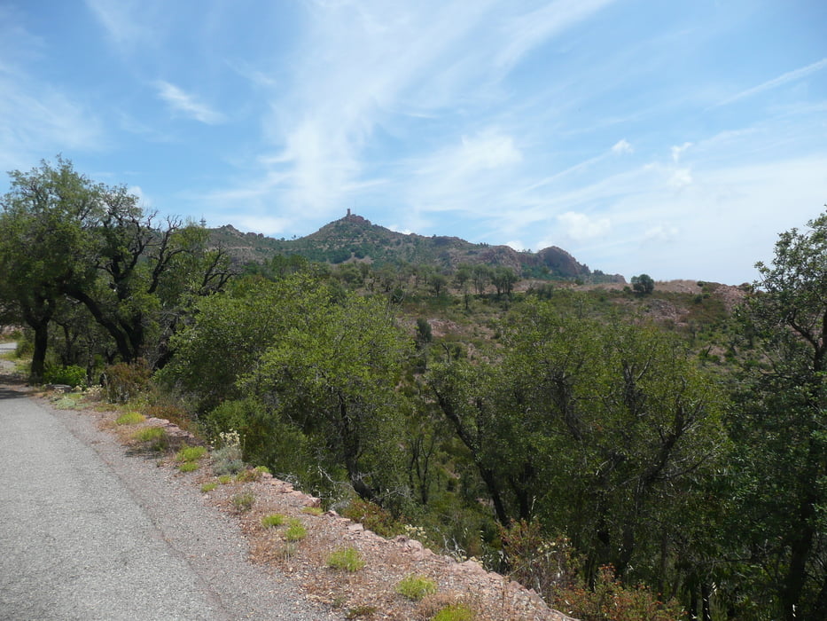
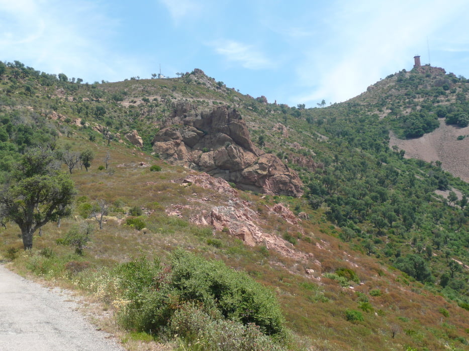
Von Mandelieu nach Les Adrets, nach links Richtung Frejus, dann nach ca. 5 km links ins Esterelgebirge. Die Strassen sind geteert, aber fürs Rennrad nur bedingt geeignet, insbesonders bei der Abfahrt.

Galerie du tour

Carte du tour et altitude

  • Open Street Map
  • Google
Minimum height 1 m Maximum height 567 m Vue de détail

More about the tour author

arteus
Member since 2009

Send private message

Commentaires

Siehe Touren Tanneron, Corniche und Esterel

Tracks GPS

Trackpoints
  • GPX / Garmin Map Source (gpx) download
  • TCX / Garmin Training Center® (tcx) download
  • CRS / Garmin Training Center® (crs) download
  • Google Earth (kml) download
  • G7ToWin (g7t) download
  • TTQV (trk) download
  • Overlay (ovl) download
  • Fugawi (txt) download
  • Kompass (DAV) Track (tk) download
  • Feuille de tours (pdf) download
  • Original file of the author (gpx) download

More about the tour author

arteus
Member since 2009

Send private message
Share track
Add to my favorites
Remove from my favorites
Edit tags
My score
Rate
Tour: Mont Vinaigre
Cat.: Trekkingbike
Longueur: 43,4 km
Evaluated on:
Durée:
Day(s)
Hour(s)
Minute(s)
Evaluation: Paysage Aspect amusement Condition Technique