Login

Login oublié ?

Cookies have to be accepted!
Your browser's cookie functionality is disabled. Please enable this functionality.

Not a member yet?

Register now
Login

Available for registred users only

Log in to use this feature.

Login oublié ?

Cookies have to be accepted!
Your browser's cookie functionality is disabled. Please enable this functionality.

Not a member yet?

Register now
Filter
Catégories
Advanced filters
  • Longueur (km)
  • Altimètre
Enregistrer le filtre Reset filter

TrackRank

QRCode

Technical data

Longueur42,3 km Altimètre483 m Way down414 m Durée00:00 h:m Date09.08.2009
Evaluations Author Paysage Aspect amusement Condition Technique

Statistiques

179 Vues Evaluations 15 Téléchargements Moyenne
Rate
  • Feuille de tours
  • Arrivée
  • Téléchargements
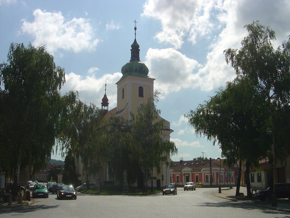
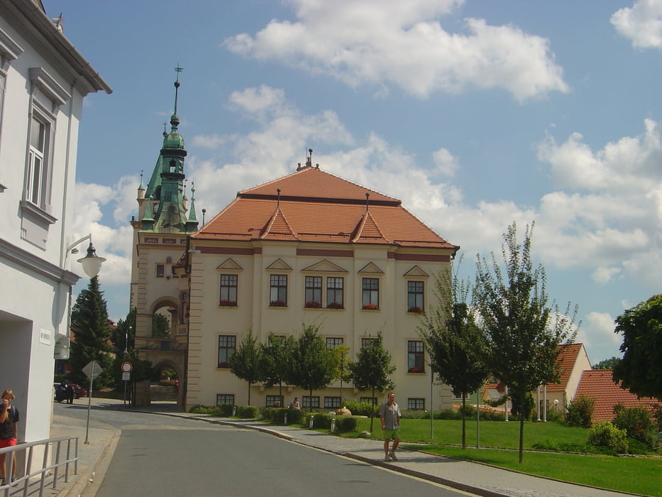
Beginnend in Modrice südlich von Brno führt diese Tour immer entlang des Flusses Svitava zuerst durch die Stadt Brno und dann weiter vorbei am Naherholungsgebiet Brnenska prehrada und der Burg Veveri nach Tisnov.

Galerie du tour

Carte du tour et altitude

  • Open Street Map
  • Google
Minimum height 194 m Maximum height 332 m Vue de détail

More about the tour author

rail-com

Commentaires

Per Bahn (CD) über Brünn nach Modrice (erste S-Bahnstation südlich von Brno Richtung Breclav)

Tracks GPS

Trackpoints
  • GPX / Garmin Map Source (gpx) download
  • TCX / Garmin Training Center® (tcx) download
  • CRS / Garmin Training Center® (crs) download
  • Google Earth (kml) download
  • G7ToWin (g7t) download
  • TTQV (trk) download
  • Overlay (ovl) download
  • Fugawi (txt) download
  • Kompass (DAV) Track (tk) download
  • Feuille de tours (pdf) download
  • Original file of the author (gpx) download

More about the tour author

rail-com

Share track
Add to my favorites
Remove from my favorites
Edit tags
My score
Rate
Tour: Tschechischer Radwanderweg 1: 001 Modrice - Tisnov
Cat.: Touring vélo
Longueur: 42,3 km
Evaluated on:
Durée:
Day(s)
Hour(s)
Minute(s)
Evaluation: Paysage Aspect amusement Condition Technique