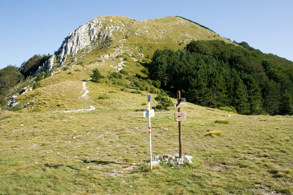
The trail start in the coastal town of Medveja (Istria - Croatia) and finishes at the Vojak summit (the highest summit on the Učka mountain). Due to the large elevation gain one should be prepared for some hard work. The trail is beautifful, taking you from the sea, through the nice Lovranska Draga village and passing by old abandoned houses, and finishing on the Vojak summit with a great view.
Galerie du tour
Carte du tour et altitude
Minimum height 19 m
Maximum height 1398 m
Commentaires

Tracks GPS
Trackpoints-
GPX / Garmin Map Source (gpx) download
-
TCX / Garmin Training Center® (tcx) download
-
CRS / Garmin Training Center® (crs) download
-
Google Earth (kml) download
-
G7ToWin (g7t) download
-
TTQV (trk) download
-
Overlay (ovl) download
-
Fugawi (txt) download
-
Kompass (DAV) Track (tk) download
-
Feuille de tours (pdf) download
-
Original file of the author (gpx) download
Add to my favorites
Remove from my favorites
Edit tags
Open track
My score
Rate


