

Super Tour auf die Alpspitze. Von der Talstation ausgehend immer den Schotterweg bergauf folgen am Sportheim Böck und Bergstation vorbei bis zum Sattel kurz vor der Alpspitze. Von hier an teilweise ausgesetzter Trail bis fast ins Tal hinab. Je nach Fahrkönnen kurze Schiebepassagen. Preis-Leistungs-Verhältniss für diese Tour: ****** -> Volle Punktzahl
Würde mich freuen wenn ihr mir bei gefallen noch Tips über ähnliche Touren schickt (Nachricht senden).
Further information at
http://www.alpspitzbahn.de/kontakt-anreise.htmlCarte du tour et altitude
Minimum height 948 m
Maximum height 1597 m
More about the tour author

|
hispeedsurfer |
Commentaires
Auf der A7 Abfahrt Oy/Nesselwang bis zum Parkplatz der Talstation der Alpspitzbahn in Nesselwang. Von hier gehts los.
Tracks GPS
Trackpoints-
GPX / Garmin Map Source (gpx) download
-
TCX / Garmin Training Center® (tcx) download
-
CRS / Garmin Training Center® (crs) download
-
Google Earth (kml) download
-
G7ToWin (g7t) download
-
TTQV (trk) download
-
Overlay (ovl) download
-
Fugawi (txt) download
-
Kompass (DAV) Track (tk) download
-
Feuille de tours (pdf) download
-
Original file of the author (gpx) download
More about the tour author
|
|
hispeedsurfer |
Add to my favorites
Remove from my favorites
Edit tags
Open track
My score
Rate
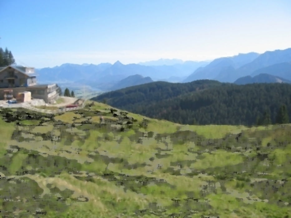
Alpspitze
Toller Trail in der zweiten Hälfte etwas feucht (Schutzbleche mitnehmen)
Alpspitze
Auffahrt Schotter nichts dramatisches, Einkehrmöglichkeit Sportheim Böck.
Trailabfahrt.
- 100-200m Schieben
- dann bis zur Kehre Super Singletrail (anspruchsvoll), auf Wanderer achten die erwarten hier keine Mountainbiker.
- dann 2km schmaler teilweise Steiler Schotterweg (kein Forstweg eher Gardasee style)
- dann 2km Teer und Wiese