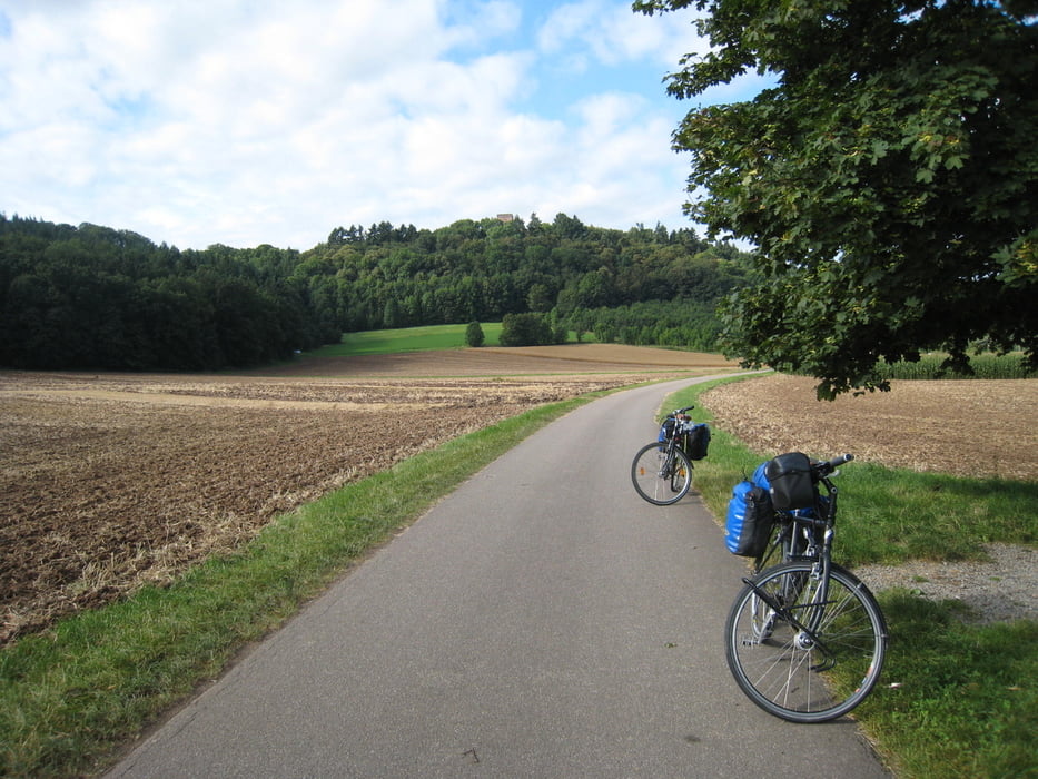
Etappe 3: Gamburg - Rothenburg o.d. Tauber
Unsere Sommerradtour 2009 führte uns von Wiesbaden entlang des Main bis nach Wertheim. Dort folgten wir dem Radweg durch das Taubertal nach Rothenburg o.d. Tauber. Über die Frankenhöhe ging es dann zur Altmühl bis an die Donau. Nach dem Besuch von Regensburg fuhren wir dann die Naab hinauf durch die Oberpfalz. Bei Creussen ging es wieder zum Main, dem wir dann bis nach Wertheim folgten.
Die Tour bestand aus 14 einzelnen Etappen:
- Etappe 1: Wiesbaden - Karlsstein am Main
- Etappe 2: Karlstein am Main - Gamburg
- Etappe 3: Gamburg - Rothenburg o.d. Tauber
- Etappe 4: Rothenburg o.d. Tauber - Gunzenhausen
- Etappe 5: Gunzenhausen - Walting
- Etappe 6: Walting - Saal a.d. Donau
- Etappe 7: Saal a.d. Donau - Kallmünz
- Etappe 8: Kallmünz - Dorfgmünd
- Etappe 9: Dorfgmünd - Eschenbach
- Etappe 10: Eschenbach - Mainroth
- Etappe 11: Mainroth - Sand a. Main
- Etappe 12: Sand a. Main - Marksteft
- Etappe 13: Marktsteft - Gemünden
- Etappe 14: Gemünden - Wertheim
Further information at
http://thorsten-bachner.deGalerie du tour
Carte du tour et altitude
Commentaires

Die Radtouretappe ist Teil einer Rundfahrt.
Startpunkt ist Gamburg an der Tauber. Der nächstgelegene Bahnhof Wertheim wird von der Westfrankenbahn bedient. Es gibt Relationen nach Miltenberg / Aschaffenburg und nach Lauda.
Die Tour endet in Rothenburg ob der Tauber. Hier endet die Regionalbahnlinie R82 innerhalb des Verkehrsverbundes Großraum Nürnberg.
Tracks GPS
Trackpoints-
GPX / Garmin Map Source (gpx) download
-
TCX / Garmin Training Center® (tcx) download
-
CRS / Garmin Training Center® (crs) download
-
Google Earth (kml) download
-
G7ToWin (g7t) download
-
TTQV (trk) download
-
Overlay (ovl) download
-
Fugawi (txt) download
-
Kompass (DAV) Track (tk) download
-
Feuille de tours (pdf) download
-
Original file of the author (gpx) download


