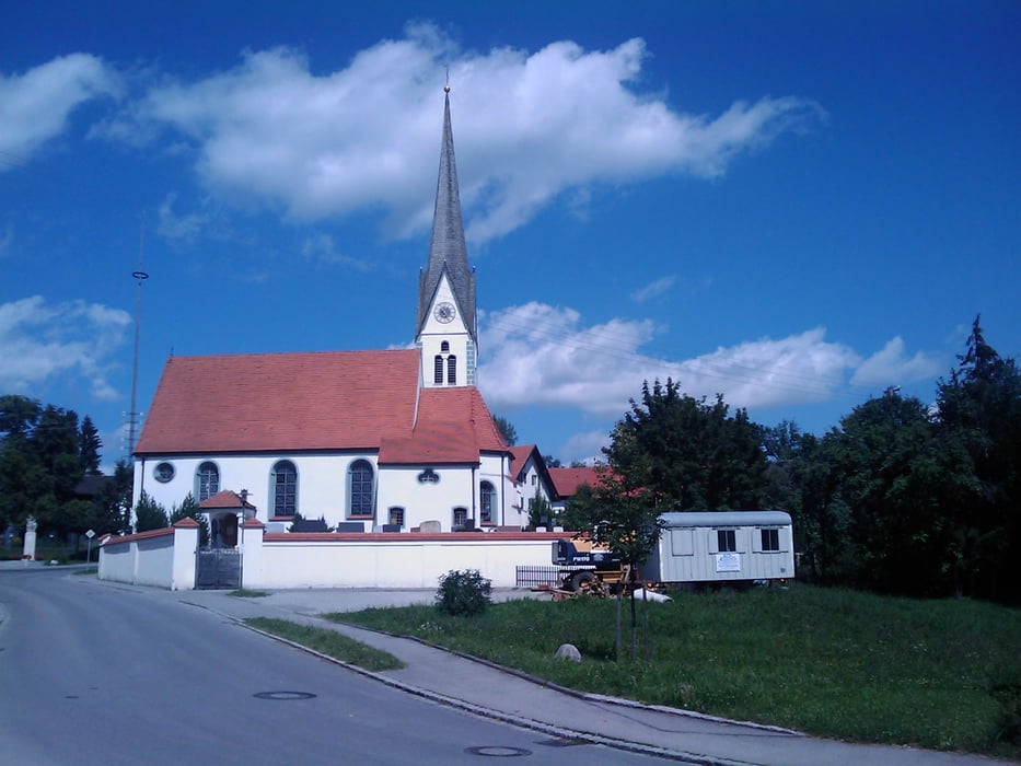
Schöne Runde im Südosten Landsbergs.
Der Weg führt nicht direkt nach Dießen, kann aber sicher beliebig dorthin verändert werden.
Ein paar Einkehrmöglichkeiten gibt es auch bspw direkt am Windachspeicher.
Galerie du tour
Carte du tour et altitude
Minimum height 651 m
Maximum height 774 m
Commentaires

Start und Ziel ist das Bayertor in Landsberg.
Tracks GPS
Trackpoints-
GPX / Garmin Map Source (gpx) download
-
TCX / Garmin Training Center® (tcx) download
-
CRS / Garmin Training Center® (crs) download
-
Google Earth (kml) download
-
G7ToWin (g7t) download
-
TTQV (trk) download
-
Overlay (ovl) download
-
Fugawi (txt) download
-
Kompass (DAV) Track (tk) download
-
Feuille de tours (pdf) download
-
Original file of the author (gpx) download
Add to my favorites
Remove from my favorites
Edit tags
Open track
My score
Rate


