


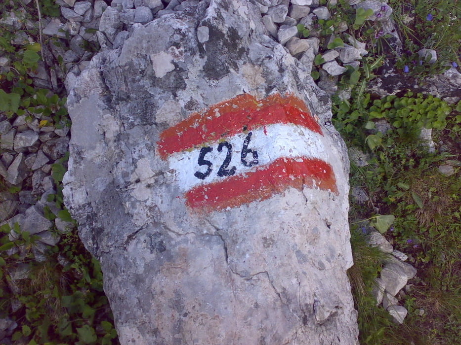
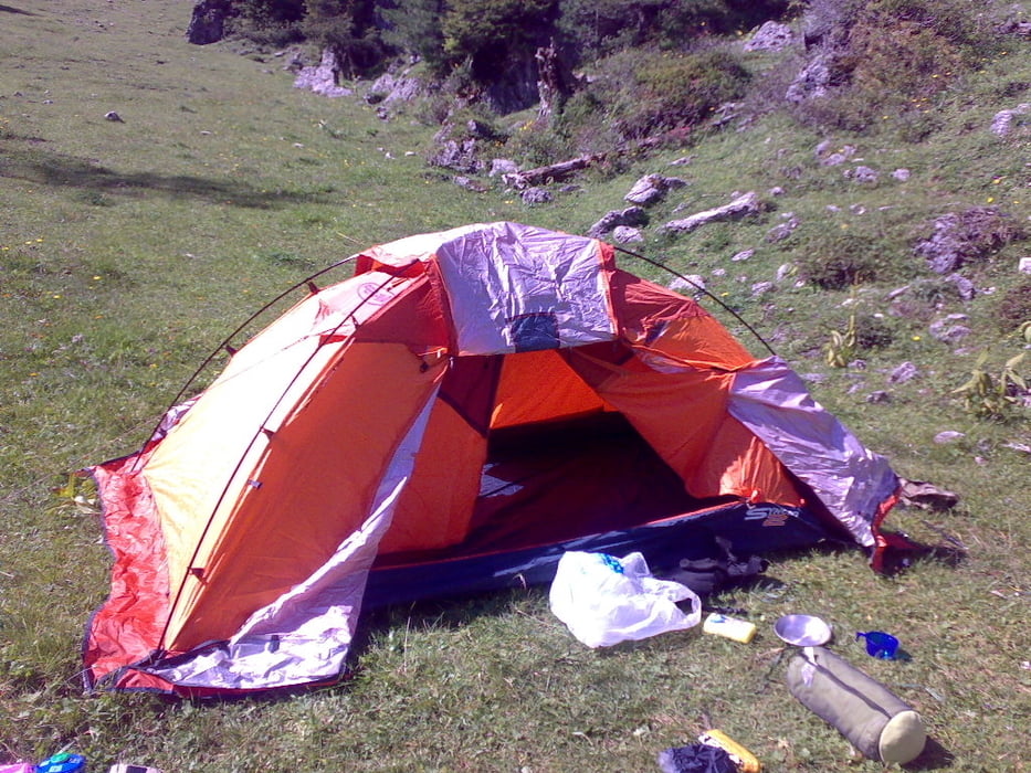
Stupenda camminata con partenza dall'Hotel Monte Pana e dopo qualche difficoltà iniziale legata al gps e alla sua bussola, siamo arrivati ai piedi del sassopiatto,dove abbiamo dormito in tenda....che buona la polenta col salame preparata da Francesca.Al mattino svegli con tanto di mucche e dopo thè e crostatina partenza per il rifugio Vicenza.Pranzo e ritorno all'albergo Monte Pana.
Galerie du tour
Carte du tour et altitude
Minimum height 1632 m
Maximum height 2273 m
More about the tour author

|
Enrico77 |
Commentaires

Arrivate a Santa Cristina di Val Gardena, albergo Monte Pana.....molto caro.....8 euro per uno yogurt.
Tracks GPS
Trackpoints-
GPX / Garmin Map Source (gpx) download
-
TCX / Garmin Training Center® (tcx) download
-
CRS / Garmin Training Center® (crs) download
-
Google Earth (kml) download
-
G7ToWin (g7t) download
-
TTQV (trk) download
-
Overlay (ovl) download
-
Fugawi (txt) download
-
Kompass (DAV) Track (tk) download
-
Feuille de tours (pdf) download
-
Original file of the author (gpx) download
More about the tour author
|
|
Enrico77 |
Add to my favorites
Remove from my favorites
Edit tags
Open track
My score
Rate