


Anspruchsvolle Rundtour über die Schwäbische Alb und einen Teil durchs Donau-, Bära- und Lippachtal.
Schömberg - Ratshausen - Hausen a.T. - Tieringen - Oberdigisheim - Unterdigisheim - Hartheim - Heidenstadt - Harthöfe - Schwenningen - Hausen i.T. - Beuron - Bärenthal (vor Bärenthal weiter Richtung Tuttlingen/Stockach) - Kolbingen - Mühlheim (in Mühlheim vor dem Bahnübergang rechts Richtung Mahlstetten) - Mahlstetten - Böttingen - Wehingen - Deilingen - Schömberg
Der Anstieg nach Kolbingen hat 14 %, die anderen Anstiege liegen bei ca. 10 % bis max. 12%.
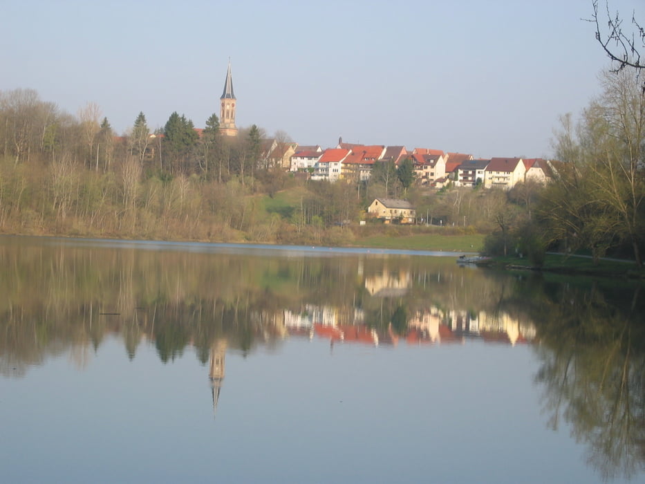
Nach Ankunft in Schömberg bietet sich ein Erfrischungsbad im Stausee an.
Galerie du tour

Carte du tour et altitude
Minimum height 625 m
Maximum height 957 m
More about the tour author
|
|
Happe-69 |
Commentaires

72355 Schömberg liegt direkt an der B27 zwischen Balingen und Rottweil. Ausgangspunkt der Tour ist der Marktplatz (Parkmöglichkeit) in der "Stadtmitte".
Tracks GPS
Trackpoints-
GPX / Garmin Map Source (gpx) download
-
TCX / Garmin Training Center® (tcx) download
-
CRS / Garmin Training Center® (crs) download
-
Google Earth (kml) download
-
G7ToWin (g7t) download
-
TTQV (trk) download
-
Overlay (ovl) download
-
Fugawi (txt) download
-
Kompass (DAV) Track (tk) download
-
Feuille de tours (pdf) download
-
Original file of the author (gpx) download
More about the tour author
|
|
Happe-69 |
Add to my favorites
Remove from my favorites
Edit tags
Open track
My score
Rate