Login

Login oublié ?

Cookies have to be accepted!
Your browser's cookie functionality is disabled. Please enable this functionality.

Not a member yet?

Register now
Login

Available for registred users only

Log in to use this feature.

Login oublié ?

Cookies have to be accepted!
Your browser's cookie functionality is disabled. Please enable this functionality.

Not a member yet?

Register now
Filter
Catégories
Advanced filters
  • Longueur (km)
  • Altimètre
Enregistrer le filtre Reset filter

TrackRank

QRCode

Technical data

Longueur11,7 km Altimètre176 m Way down181 m Durée03:00 h:m Date18.08.2009
Evaluations Author User Paysage Aspect amusement Condition Technique

Statistiques

635 Vues 1 Evaluation 68 Téléchargements 4.00 Moyenne
Rate
  • Feuille de tours
  • Arrivée
  • Téléchargements

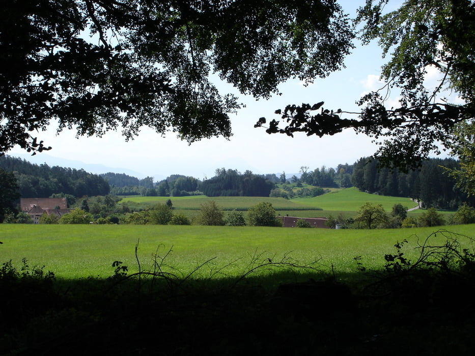
Diese Wanderung verläuft fast immer im Schatten auf Forst- und Wanderwegen. Zunächst wandern wir auf einem Waldlehrpfad und dann in Richtung Schloss- Achberg. Der Rückweg geht fast immer parallel in Sicht- oder Hörweite entlang der Argen zurück bis zum Ausgangspunkt. 

Galerie du tour

Carte du tour et altitude

  • Open Street Map
  • Google
Minimum height 464 m Maximum height 553 m Vue de détail

More about the tour author

rödivomsee
Member since 2008

Send private message

Commentaires


Von Langnau fährt man Richtung Hiltensweiler. Kurz nach dem Ortsende befindet sich auf der linken Seite der Parkplatz vom Waldlehrpfad.

Tracks GPS

Trackpoints
  • GPX / Garmin Map Source (gpx) download
  • TCX / Garmin Training Center® (tcx) download
  • CRS / Garmin Training Center® (crs) download
  • Google Earth (kml) download
  • G7ToWin (g7t) download
  • TTQV (trk) download
  • Overlay (ovl) download
  • Fugawi (txt) download
  • Kompass (DAV) Track (tk) download
  • Feuille de tours (pdf) download
  • Original file of the author (gpx) download

More about the tour author

rödivomsee
Member since 2008

Send private message
Share track
Add to my favorites
Remove from my favorites
Edit tags
My score
Rate
Tour: Langnau-Schloss Achberg
Cat.: Randonnées
Longueur: 11,7 km
Evaluated on:
Durée:
Day(s)
Hour(s)
Minute(s)
Evaluation: Paysage Aspect amusement Condition Technique