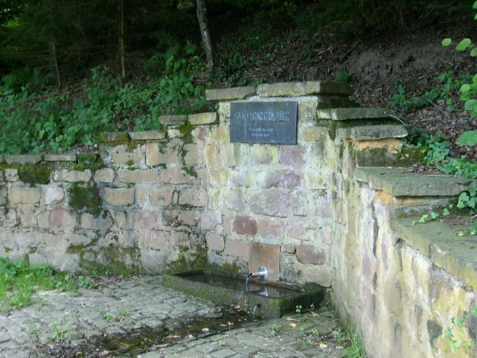
Weg führt vom Friedhof Schweich über Teile des Moselhöhenweges M bis hin zum Landwehrkreuz. Bis dahin geht es meist bergan. Anschließend folgt man dem Moselhöhenweg (auch Weg Lo) bergab. An einer Quelle vorbei gelangt man auf Weinbergswege in halber Höhe. Einem dieser Wege folgt man wieder ohne große Höhenunterschiede bis nach Schweich.
Galerie du tour
Carte du tour et altitude
Minimum height 122 m
Maximum height 411 m
Commentaires

Tracks GPS
Trackpoints-
GPX / Garmin Map Source (gpx) download
-
TCX / Garmin Training Center® (tcx) download
-
CRS / Garmin Training Center® (crs) download
-
Google Earth (kml) download
-
G7ToWin (g7t) download
-
TTQV (trk) download
-
Overlay (ovl) download
-
Fugawi (txt) download
-
Kompass (DAV) Track (tk) download
-
Feuille de tours (pdf) download
-
Original file of the author (gpx) download
Add to my favorites
Remove from my favorites
Edit tags
Open track
My score
Rate


