


Vom Bahnhof Unterföhring geht es mitten durch das Erdinger Moos bis in die Stadtmitte von Erding. Hier können wir in einem der vielen Lokale zu Mittag essen: www.marktplatz-erding.de/12667/Gallery
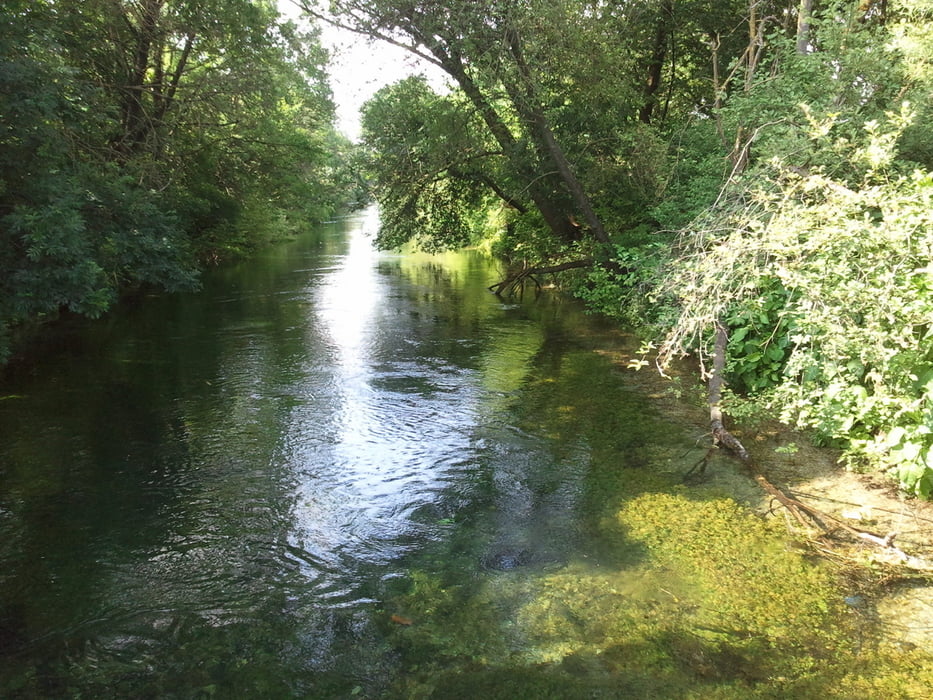
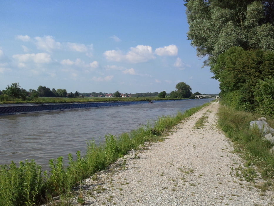
Zurück geht die Tour vorbei an der Erdinger Therme, entlang dem Isarkanal und dem Speichersee bis an den Ferringasee. Hier können wir noch einen Badestopp einlegen oder dem Biergarten einen Besuch abstatten.
Vom Ferringasee zurück zum Bahnhof Unterföhring sind es dann nur wenige hundert Meter.
Die Strecke verläuft überwiegend auf Feldwegen oder geteerten Nebenstraßen. Hauptstraßen werden nur kurz, wenn unbedingt nötig, befahren.
Further information at
http://www.panoramio.com/photo/8484889Galerie du tour


Carte du tour et altitude
Minimum height 460 m
Maximum height 527 m
More about the tour author
|
|
klaus62 |
Commentaires

Start: S-Bahnhof Unterföhring, Flughafenlinie;
Parkmöglichkeit für Autofahrer besteht am Poschinger Weiher (in der Badesaison jedoch kostenpflichtig).
Tracks GPS
Trackpoints-
GPX / Garmin Map Source (gpx) download
-
TCX / Garmin Training Center® (tcx) download
-
CRS / Garmin Training Center® (crs) download
-
Google Earth (kml) download
-
G7ToWin (g7t) download
-
TTQV (trk) download
-
Overlay (ovl) download
-
Fugawi (txt) download
-
Kompass (DAV) Track (tk) download
-
Feuille de tours (pdf) download
-
Original file of the author (gpx) download
More about the tour author
|
|
klaus62 |
Add to my favorites
Remove from my favorites
Edit tags
Open track
My score
Rate