


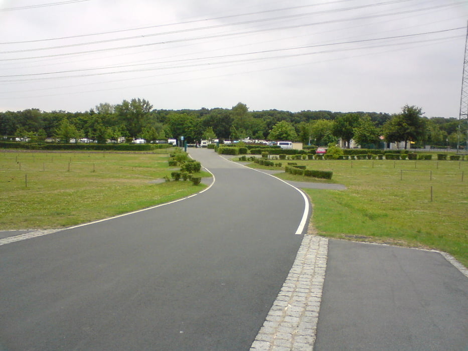
Diese Trainingsrunde ist als reine Rennradtour gedacht. Die Route wurde so gelegt, dass man relativ wenig Kontakt mit stark von KFZ befahrenen Strassen hat. Wochenende ist natürlich immer besser bzw. ohne KFZ-Kontakt geht natürlich nicht ganz. Vom zentralen Parkplatz vor dem Kötitzer Bad in Coswig geht es fast ausschließlich auf asphaltierten Wegen und Strassen sowie mit viel Spass u.a. über OE Auer, Weinböhla, Steinbach, Buschhaus, Hohndorf, Alteis, Göhra, Kalkreuth, Freitelsdorf, Lampertswalde und Schönfeld nach Thiendorf. Von Thiendorf geht es zurück zum Ausgangspunkt über Dobra, Radeburg, Moritzburg und Auer. PS: Bevor man den Parkplatz am Kötitzer Bad endgültig erreicht, kann man noch Am Alten Museum in Coswig ein ausgleichendes mineralhaltiges Bier trinken ...
Further information at
http://www.campingplatz-coswig.deGalerie du tour
Carte du tour et altitude
Minimum height 107 m
Maximum height 205 m
More about the tour author

|
RADPIDO |
Commentaires

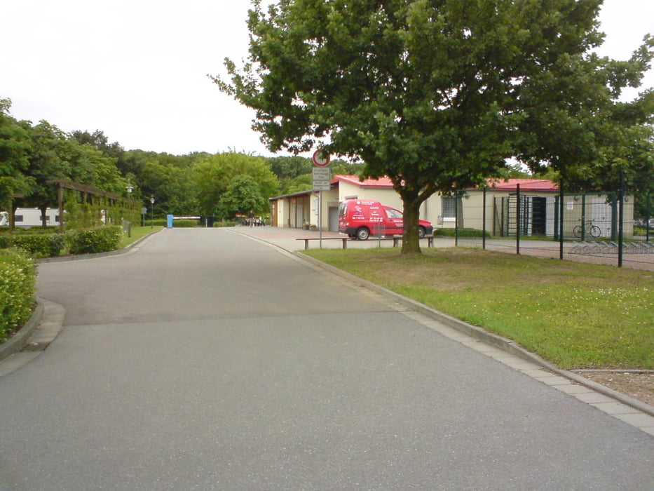
Startplatz ist der Parkplatz des Campingplatzes Coswig / Kötitzer Bades. Hier stehen immer kostenfreie Parkplätze zur Verfügung. D-01640 Coswig, Brockwitzer Strasse
Tracks GPS
Trackpoints-
GPX / Garmin Map Source (gpx) download
-
TCX / Garmin Training Center® (tcx) download
-
CRS / Garmin Training Center® (crs) download
-
Google Earth (kml) download
-
G7ToWin (g7t) download
-
TTQV (trk) download
-
Overlay (ovl) download
-
Fugawi (txt) download
-
Kompass (DAV) Track (tk) download
-
Feuille de tours (pdf) download
-
Original file of the author (gpx) download
More about the tour author
|
|
RADPIDO |
Add to my favorites
Remove from my favorites
Edit tags
Open track
My score
Rate