Login

Login oublié ?

Cookies have to be accepted!
Your browser's cookie functionality is disabled. Please enable this functionality.

Not a member yet?

Register now
Login

Available for registred users only

Log in to use this feature.

Login oublié ?

Cookies have to be accepted!
Your browser's cookie functionality is disabled. Please enable this functionality.

Not a member yet?

Register now
Filter
Catégories
Advanced filters
  • Longueur (km)
  • Altimètre
Enregistrer le filtre Reset filter

TrackRank

QRCode

Technical data

Longueur60,1 km Altimètre962 m Way down963 m Durée00:00 h:m Date24.08.2009
Evaluations Author User Paysage Aspect amusement Condition Technique

Statistiques

723 Vues 1 Evaluation 68 Téléchargements 3.00 Moyenne
Rate
  • Feuille de tours
  • Arrivée
  • Téléchargements
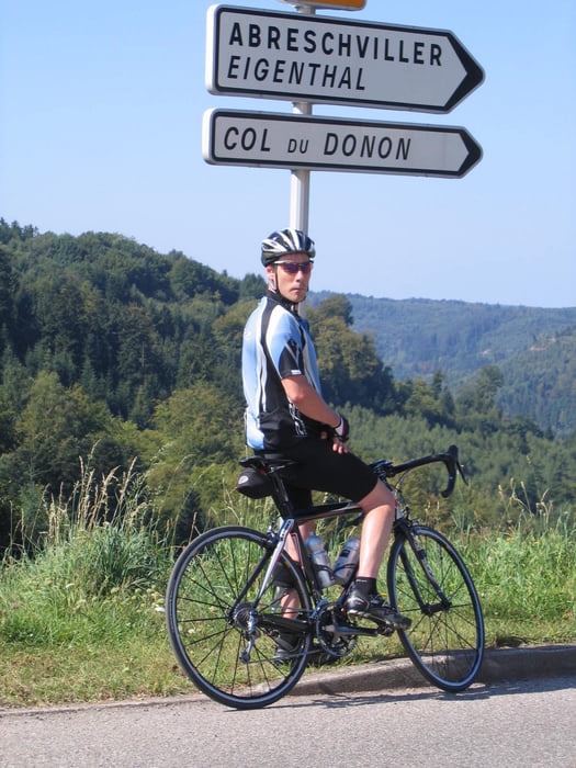
Tour über den Col du Donon

Galerie du tour

Carte du tour et altitude

  • Open Street Map
  • Google
Minimum height 300 m Maximum height 809 m Vue de détail

More about the tour author

cs112
Member since 2009

Send private message

Commentaires

Von Deutschland kommend Richtung Abreschviller in dem Ort Sitifort gebenüber der Auberge "Au bon Coin" kann man schön parken und von dort beginnt die Tour. 

Tracks GPS

Trackpoints
  • GPX / Garmin Map Source (gpx) download
  • TCX / Garmin Training Center® (tcx) download
  • CRS / Garmin Training Center® (crs) download
  • Google Earth (kml) download
  • G7ToWin (g7t) download
  • TTQV (trk) download
  • Overlay (ovl) download
  • Fugawi (txt) download
  • Kompass (DAV) Track (tk) download
  • Feuille de tours (pdf) download
  • Original file of the author (gpx) download

More about the tour author

cs112
Member since 2009

Send private message
Share track
Add to my favorites
Remove from my favorites
Edit tags
My score
Rate
Tour: Rundkurs um den Cold du Donon
Cat.: Vélo de course
Longueur: 60,1 km
Evaluated on:
Durée:
Day(s)
Hour(s)
Minute(s)
Evaluation: Paysage Aspect amusement Condition Technique