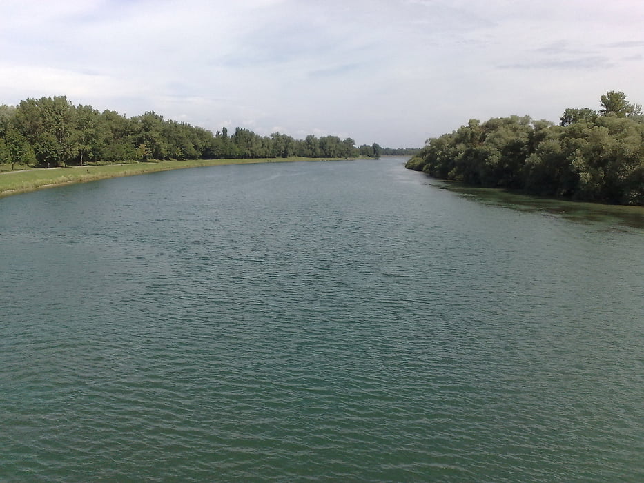
Heute ging es auf die andere Rheinseite zur Hoch-Königsburg in den Vogesen. Erst einmal ein langes dahin rollen am Kaiserstuhl rechts vorbei über den Rhein, durch Marckolsheim und weiter Richtung Ribeauville. Hier sieht man schon von weitem die schöne Burg. Wir fahren aber an ihr links vorbei und arbeiten uns langsam ansteigend ein kleines Tal etwa 500hm hoch nach Thannenkirch wo eine erquickende Trinkwasserquelle auf uns wartet, also Flaschen füllen !! Dann noch ein Stückchen höher sind wir auch schon am Fuße der Burg und umfahren sie ansteigend bis zum Eingang. Hier hat mein einen sehr schönen Rundblick über die Rheinebene, den Kaiserstuhl und dem dahinterliegenden Schwarzwald. Nach einer kleinen Pause, oder wer will größeren es gibt jedenfalls eine Gaststätte und Imbiss, rollt man wieder in die Rheinebene nach Selestat und weiter Richtung Rhein. Diesen überqueren wir wieder Nahe Marckolsheim und fahren diesmal eine größer Kurve um den Kaiserstuhl nach Emmendingen und weiter nach Heuweiler.
Galerie du tour
Carte du tour et altitude
Minimum height 166 m
Maximum height 701 m
Commentaires

Tracks GPS
Trackpoints-
GPX / Garmin Map Source (gpx) download
-
TCX / Garmin Training Center® (tcx) download
-
CRS / Garmin Training Center® (crs) download
-
Google Earth (kml) download
-
G7ToWin (g7t) download
-
TTQV (trk) download
-
Overlay (ovl) download
-
Fugawi (txt) download
-
Kompass (DAV) Track (tk) download
-
Feuille de tours (pdf) download
-
Original file of the author (gpx) download
Add to my favorites
Remove from my favorites
Edit tags
Open track
My score
Rate


