


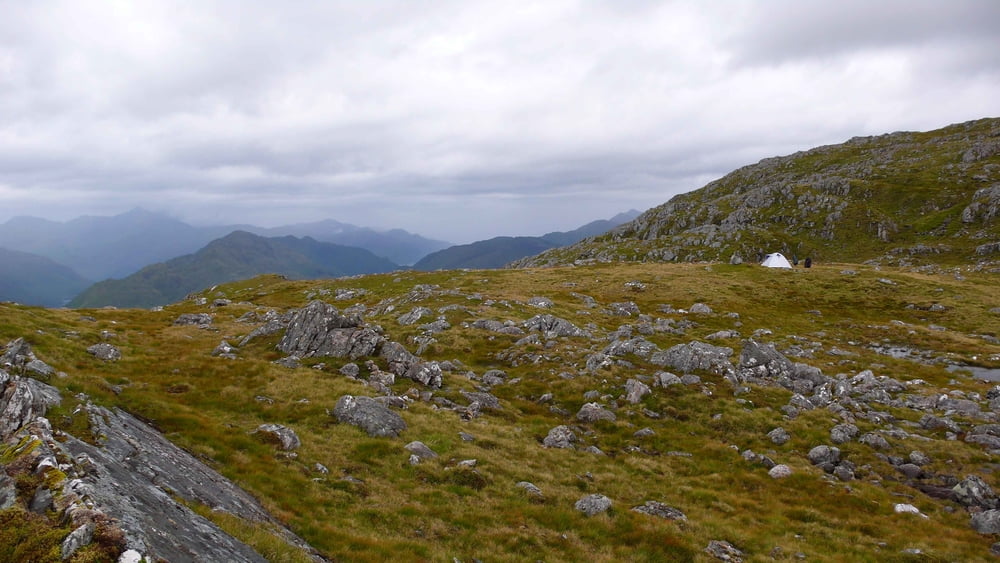
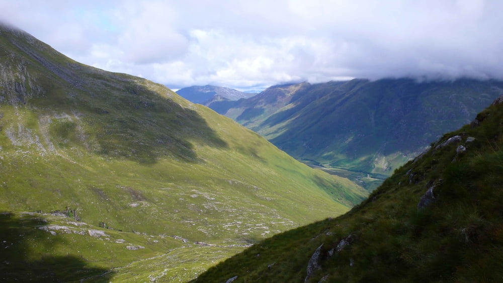
Wanderung zu einem grandiosen Aussichtspunkt mit prächtiger Möglichkeit einer Zeltübernachtung. Sehr gut mit Kindern machbar.
Technich einfacher, markierungsloser Weg.
Als Tagestour früh aufbrechen, bei Übernachtung (sehr zu empfehlen) ist ein Aufbruch gegen Mittag ausreichend. In der Nähe des Zeltplatzes ist Wasser vorhanden. Abstellmöglichkeit für ein Fahrzeug ist am Einstieg vorhanden.
Galerie du tour
Carte du tour et altitude
Minimum height 41 m
Maximum height 730 m
More about the tour author

|
ralfgeorge |
Commentaires
Einstieg an der Parkbucht der A 87 Invergarrry - Shiel Bridge, 7 km südwestlich von Shiel Bridge
Tracks GPS
Trackpoints-
GPX / Garmin Map Source (gpx) download
-
TCX / Garmin Training Center® (tcx) download
-
CRS / Garmin Training Center® (crs) download
-
Google Earth (kml) download
-
G7ToWin (g7t) download
-
TTQV (trk) download
-
Overlay (ovl) download
-
Fugawi (txt) download
-
Kompass (DAV) Track (tk) download
-
Feuille de tours (pdf) download
-
Original file of the author (gpx) download
More about the tour author
|
|
ralfgeorge |
Add to my favorites
Remove from my favorites
Edit tags
Open track
My score
Rate
test