Login

Login oublié ?

Cookies have to be accepted!
Your browser's cookie functionality is disabled. Please enable this functionality.

Not a member yet?

Register now
Login

Available for registred users only

Log in to use this feature.

Login oublié ?

Cookies have to be accepted!
Your browser's cookie functionality is disabled. Please enable this functionality.

Not a member yet?

Register now
Filter
Catégories
Advanced filters
  • Longueur (km)
  • Altimètre
Enregistrer le filtre Reset filter

TrackRank

QRCode

Technical data

Longueur39,5 km Altimètre1334 m Way down1314 m Durée04:00 h:m Date29.08.2009
Evaluations Author User Paysage Aspect amusement Condition Technique

Statistiques

4150 Vues 1 Evaluation 306 Téléchargements 5.00 Moyenne
Rate
  • Feuille de tours
  • Arrivée
  • Téléchargements

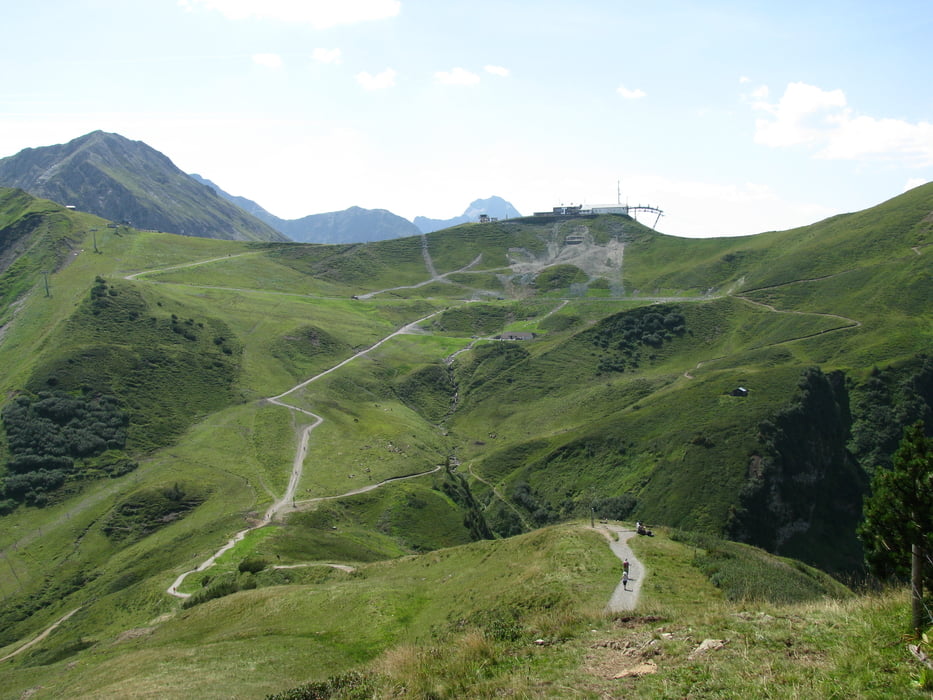
Tour von Oberstdorf zum Fellhorn, dort bis zur Gipfelstation. Anschließend rüber zur Kanzelwand und von dort runter nach Riezlern ins Kleinwalsertal. Abschließend über die Straße zurück nach Oberstdorf.

Der Aufstieg erfolgt weitestgehend über Straße und Serpentinen. Runter gehts auf Schotter.

Carte du tour et altitude

  • Open Street Map
  • Google
Minimum height 799 m Maximum height 1955 m Vue de détail

More about the tour author

Ahres
Member since 2009

Send private message

Commentaires

klixx on 04.07.2011

Schöne Tour...

allerings sollte man vielleicht erwähnen, dass das Stück von der Station Schlappoldsee bis zum Fellhorngipfel zu 95 Prozent nicht fahrbar ist. Ca. 45 Minuten Schieben ist angesagt. Bis zum See ist alles fahrbar, wenn auch sehr steil. Die 4 Punkte bei der Konditionsbewertung sind durchaus angebracht.
Ahres on 24.07.2011

Richtig....

Hallo Klixx,

du hast recht, ein relativ langes Schiebestück ist mit drin. Wenn man anschließend nicht auch noch ein Stück runter schieben möchte muss man auch dem Treppen fahren mächtig sein...aber auch das hilft nicht an allen Stellen.

Tracks GPS

Trackpoints
  • GPX / Garmin Map Source (gpx) download
  • TCX / Garmin Training Center® (tcx) download
  • CRS / Garmin Training Center® (crs) download
  • Google Earth (kml) download
  • G7ToWin (g7t) download
  • TTQV (trk) download
  • Overlay (ovl) download
  • Fugawi (txt) download
  • Kompass (DAV) Track (tk) download
  • Feuille de tours (pdf) download
  • Original file of the author (gpx) download

More about the tour author

Ahres
Member since 2009

Send private message
Share track
Add to my favorites
Remove from my favorites
Edit tags
My score
Rate
Tour: Oberstdorf-Fellhorn-Kanzelwand-Oberstdorf
Cat.: Mountainbike
Longueur: 39,5 km
Evaluated on:
Durée:
Day(s)
Hour(s)
Minute(s)
Evaluation: Paysage Aspect amusement Condition Technique