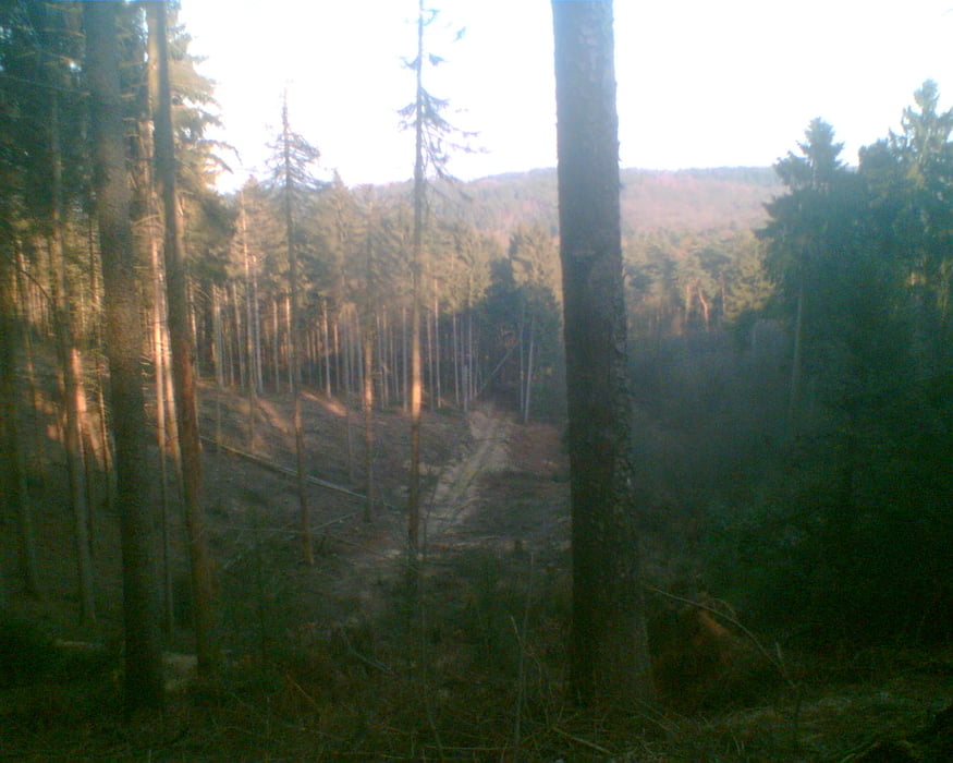
Kleine Tour durch die Haard mit fast allen Bergen, die dieser Wald zu bieten hat.
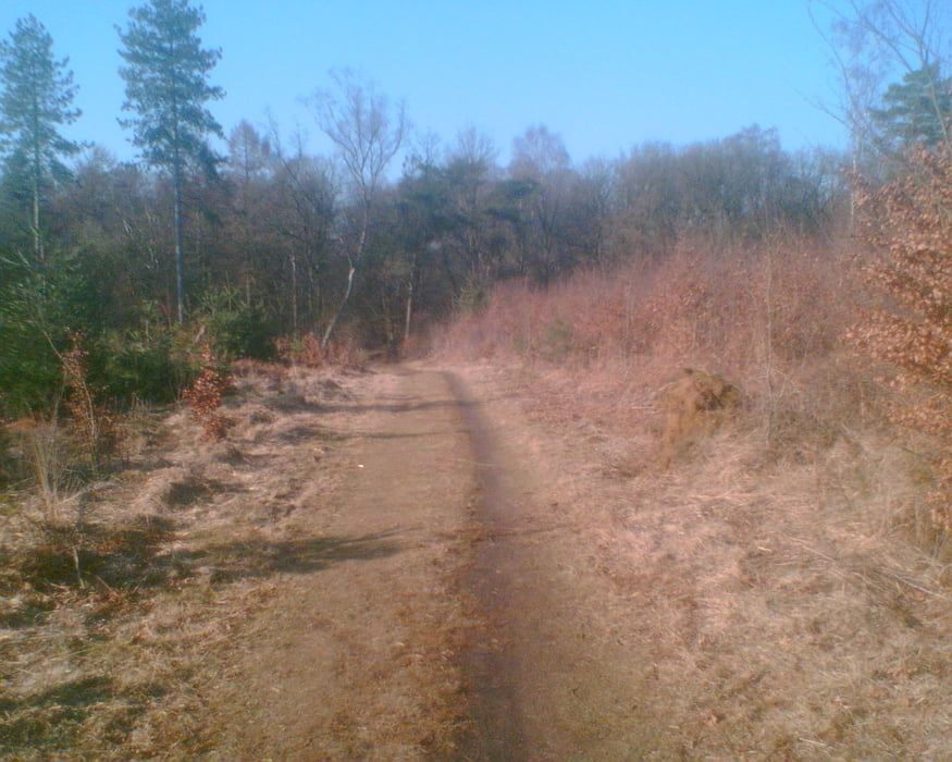
Abwechslungsreiche Streckenführung über "Waldautobahnen" bis hin zu knackigen Singletrails.
Galerie du tour
Carte du tour et altitude
Minimum height 48 m
Maximum height 146 m
Commentaires

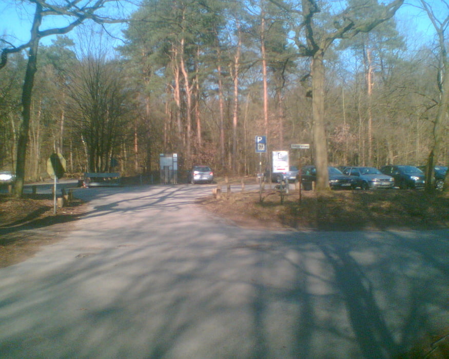
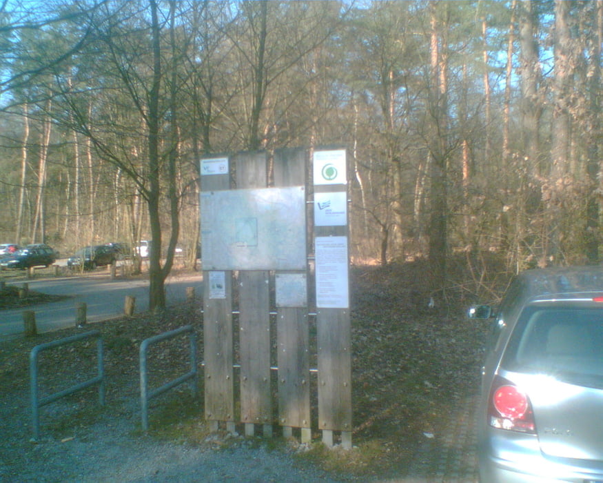
Startpunkt und Ziel sind der Parkplatz am Haardgrenzweg , Ecke Obersinsener Straße (Nähe Gaststätte St. Johannes). Erreichbar ist dies über die A 43, Ausfahrt Marl-Sinsen.
Tracks GPS
Trackpoints-
GPX / Garmin Map Source (gpx) download
-
TCX / Garmin Training Center® (tcx) download
-
CRS / Garmin Training Center® (crs) download
-
Google Earth (kml) download
-
G7ToWin (g7t) download
-
TTQV (trk) download
-
Overlay (ovl) download
-
Fugawi (txt) download
-
Kompass (DAV) Track (tk) download
-
Feuille de tours (pdf) download
-
Original file of the author (gpx) download
Add to my favorites
Remove from my favorites
Edit tags
Open track
My score
Rate

