Login

Login oublié ?

Cookies have to be accepted!
Your browser's cookie functionality is disabled. Please enable this functionality.

Not a member yet?

Register now
Login

Available for registred users only

Log in to use this feature.

Login oublié ?

Cookies have to be accepted!
Your browser's cookie functionality is disabled. Please enable this functionality.

Not a member yet?

Register now
Filter
Catégories
Advanced filters
  • Longueur (km)
  • Altimètre
Enregistrer le filtre Reset filter

TrackRank

QRCode

Technical data

Longueur35,0 km Altimètre170 m Way down207 m Durée02:00 h:m Date02.09.2009
Evaluations Author Paysage Aspect amusement Condition Technique

Statistiques

234 Vues Evaluations 20 Téléchargements Moyenne
Rate
  • Feuille de tours
  • Arrivée
  • Téléchargements

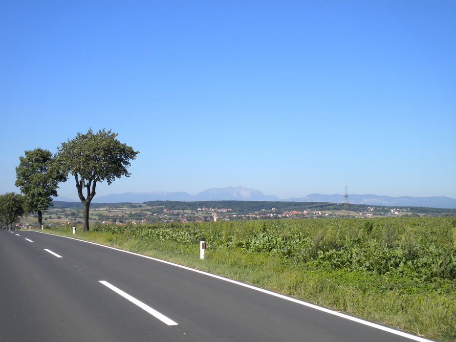
Strecke beginnt am Velo9 über Lichtenwörth, Pöttsching, Zillingtal, Steinbrunn wo der Steinbrunnersee liegt sehr schön zu schwimmen, weiter Zillingdorf und zurück.

Fahrzeit ca. 2 Std.

durchwegs Asphalt, wenig Radwege

Galerie du tour

Carte du tour et altitude

  • Open Street Map
  • Google
Minimum height 202 m Maximum height 291 m Vue de détail

More about the tour author

helmi64
Member since 2009

Send private message

Commentaires

Tracks GPS

Trackpoints
  • GPX / Garmin Map Source (gpx) download
  • TCX / Garmin Training Center® (tcx) download
  • CRS / Garmin Training Center® (crs) download
  • Google Earth (kml) download
  • G7ToWin (g7t) download
  • TTQV (trk) download
  • Overlay (ovl) download
  • Fugawi (txt) download
  • Kompass (DAV) Track (tk) download
  • Feuille de tours (pdf) download
  • Original file of the author (gpx) download

More about the tour author

helmi64
Member since 2009

Send private message
Share track
Add to my favorites
Remove from my favorites
Edit tags
My score
Rate
Tour: Lichtenwörth_Steinbrunn
Cat.: Trekkingbike
Longueur: 35,0 km
Evaluated on:
Durée:
Day(s)
Hour(s)
Minute(s)
Evaluation: Paysage Aspect amusement Condition Technique