


Transalp in 7 Etappen von Garmisch nach Riva über
Biberwier - Fernpass - Imst - Landeck - Ischgl - Heidelberger Hütte - Fimberpass - Vna - Sur En - Val d'Uina - Sesvennahütte - Mals im Vinschgau - Val Müstair - Val Mora - Torre di Fraele - Arnoga - Val di Verva - Grosio - Passo di Mortirolo - Edolo - Cedegolo - Passo di Campo - Val di Daone - Storo - Passo di Ampola - Tremalzo - Passo Nota - Passo Rochetta - Riva del Garda
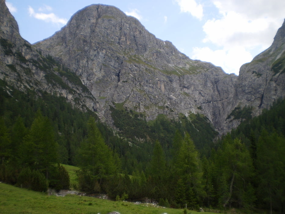
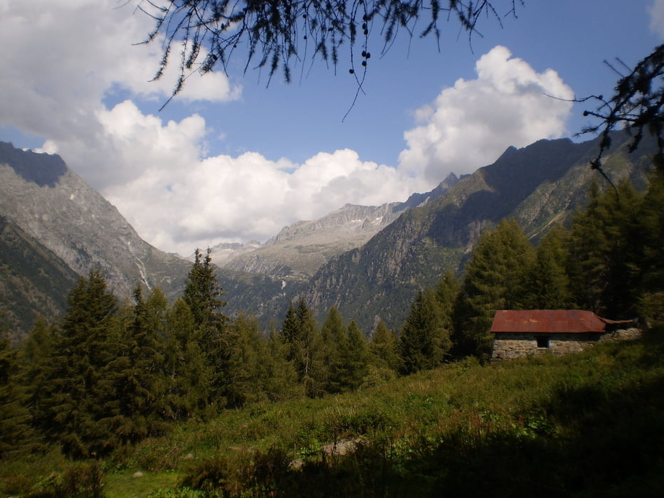
Abwechslungsreiche Tour, die alles hat, was eine Transalp haben muss... knackige Anstiege, Trailabfahrten, grandiose Landschaft...
Highlights waren: Single-Trails um den Fernpass, Auffahrt zur Heidelberger Hütte und weiter zum Fimberpass sowie die folgende Traum-Abfahrt ins Engadin, Aufstieg durch die einmalige Uina-Schlucht, Dorfdurchfahrten im wunderschönen Vinschgau, Kloster Müstair, das unglaubliche Val Mora mit "Herr der Ringe"-Landschaft (grüne Hochgebirgshänge mit Wasserfällen), Abfahrt zum Lago San Giacomo, Ausblicke ins Ortlermassiv, das wolkenverhangene Val di Verva, die sich durch grüne Hänge schlängelnde Passauffahrt zum Mortirolo, die extreme Schiebepassage zum Passo di Campo, die mit hochalpinen Ausblicken in die Adamello-Gruppe belohnt, die Tremalzo-Abfahrt nach Riva.
Galerie du tour


Carte du tour et altitude
Minimum height 263 m
Maximum height 2581 m
More about the tour author
|
|
m-tier |
Commentaires

Mit dem Zug nach Garmisch, letzter Stopp bei Hobi's Backstube
Tracks GPS
Trackpoints-
GPX / Garmin Map Source (gpx) download
-
TCX / Garmin Training Center® (tcx) download
-
CRS / Garmin Training Center® (crs) download
-
Google Earth (kml) download
-
G7ToWin (g7t) download
-
TTQV (trk) download
-
Overlay (ovl) download
-
Fugawi (txt) download
-
Kompass (DAV) Track (tk) download
-
Feuille de tours (pdf) download
-
Original file of the author (gpx) download
More about the tour author
|
|
m-tier |
Add to my favorites
Remove from my favorites
Edit tags
Open track
My score
Rate