


Start: Parkpl. am Petronell (1km hinter Bad Bergzabern)-----400m Richt.Kurpark---rechts WEISSES DREIECK
----Stäffelesberg---Steinener Tisch---Hohe Derst---St.Germanshof (Straßenquerung)---GELBE KUGEL----
Richt.W----Siebenteilbrücke---Weidelsberg---links ROTE KUGEL---Petit Wingen---Wingen---rechts GELB-WEISS-GELBER
BALKEN--- Riegelsberg---links BLAUES KREUZ---Col du Hohlmarstein---Tannenbrücke---rechts BLAUER BALKEN---
Ferme de Froensbourg---am Fuchsberg---Anfang Hirschthal---rechts ROT-WEISS-ROTER BALKEN---Ruine Fleckenstein---
Ferme du Fleckenstein---Col de Litschhof---an Str.Richt.Petit Wingen---2km links GELBE KUGEL---Weidelsberg---
links ROTE KUGEL---Klaffental---Bobenthal---Hirzeckhütte---Reisdorf---gelb roter Balken nach Böllendorf---Bad Bergzabern---Parkpl.Petronell
Further information at
http://www.biketreff-niefern.deGalerie du tour
Carte du tour et altitude
Minimum height 155 m
Maximum height 560 m
More about the tour author

|
winklem |
Commentaires
Start: Parkpl. am Petronell (1km hinter Bad Bergzabern)
Da sind die Koordinaten vom Parkplatz:
N49 06.208 E7 58.325
Da sind die Koordinaten vom Parkplatz:
N49 06.208 E7 58.325
Tracks GPS
Trackpoints-
GPX / Garmin Map Source (gpx) download
-
TCX / Garmin Training Center® (tcx) download
-
CRS / Garmin Training Center® (crs) download
-
Google Earth (kml) download
-
G7ToWin (g7t) download
-
TTQV (trk) download
-
Overlay (ovl) download
-
Fugawi (txt) download
-
Kompass (DAV) Track (tk) download
-
Feuille de tours (pdf) download
-
Original file of the author (g7t) download
More about the tour author
|
|
winklem |
Add to my favorites
Remove from my favorites
Edit tags
Open track
My score
Rate
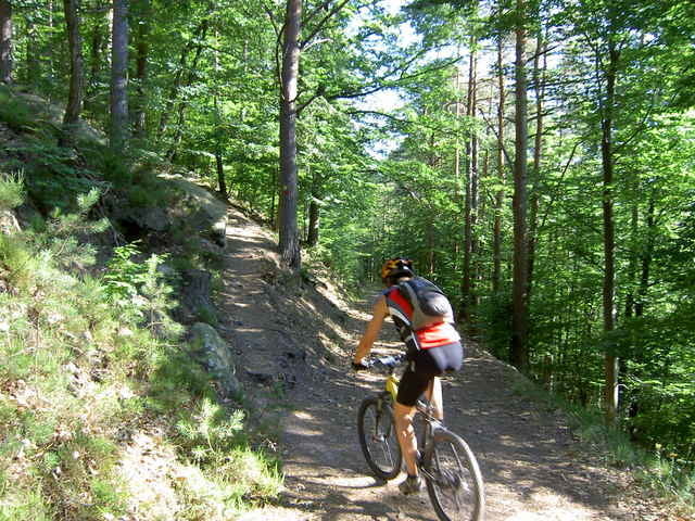
Pfalz Tour zum Hohe Derst (553m) und Ferme de Froe