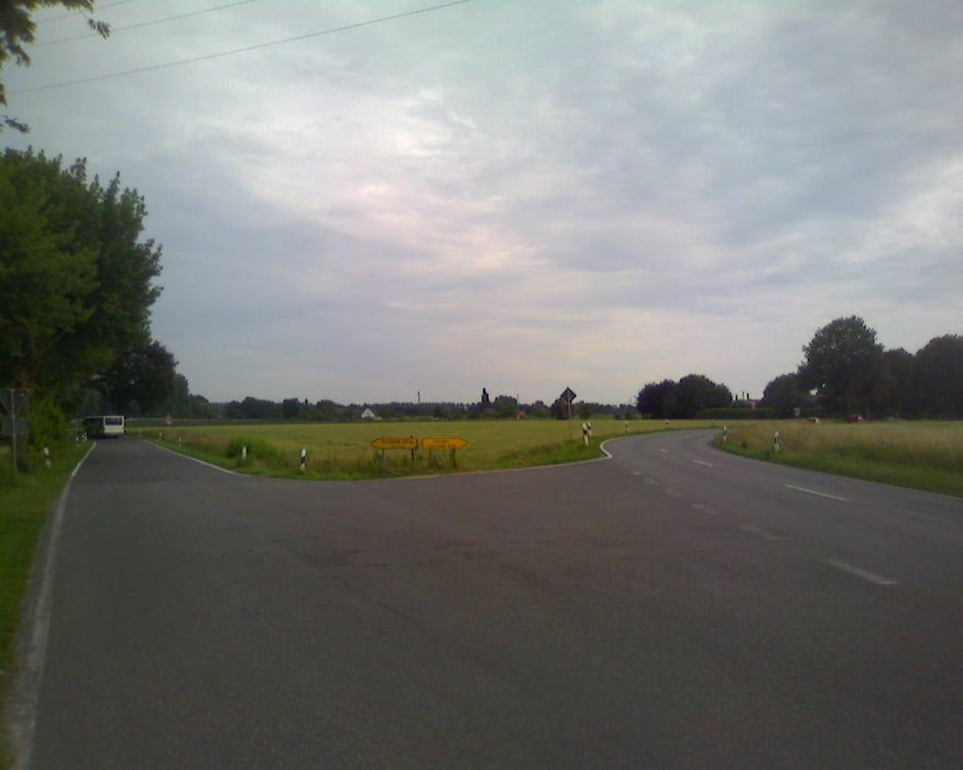
Dies ist ein Update meiner niederrheinischen Trainingsrunde. Die Rückrunde verläuft nun nördlich der A44 und vermeidet so eine Rückfahrt über die Hox, Fotz, und Holterhöfe. Stattdessen gibt es ein bischen mehr Bundesstrasse unter die Reifen. Ein bischen Abwechselung muss sein ;-)
Viel Spass damit!
Axis
Galerie du tour
Carte du tour et altitude
Minimum height 29 m
Maximum height 51 m
Commentaires

Tracks GPS
Trackpoints-
GPX / Garmin Map Source (gpx) download
-
TCX / Garmin Training Center® (tcx) download
-
CRS / Garmin Training Center® (crs) download
-
Google Earth (kml) download
-
G7ToWin (g7t) download
-
TTQV (trk) download
-
Overlay (ovl) download
-
Fugawi (txt) download
-
Kompass (DAV) Track (tk) download
-
Feuille de tours (pdf) download
-
Original file of the author (gpx) download
Add to my favorites
Remove from my favorites
Edit tags
Open track
My score
Rate


