
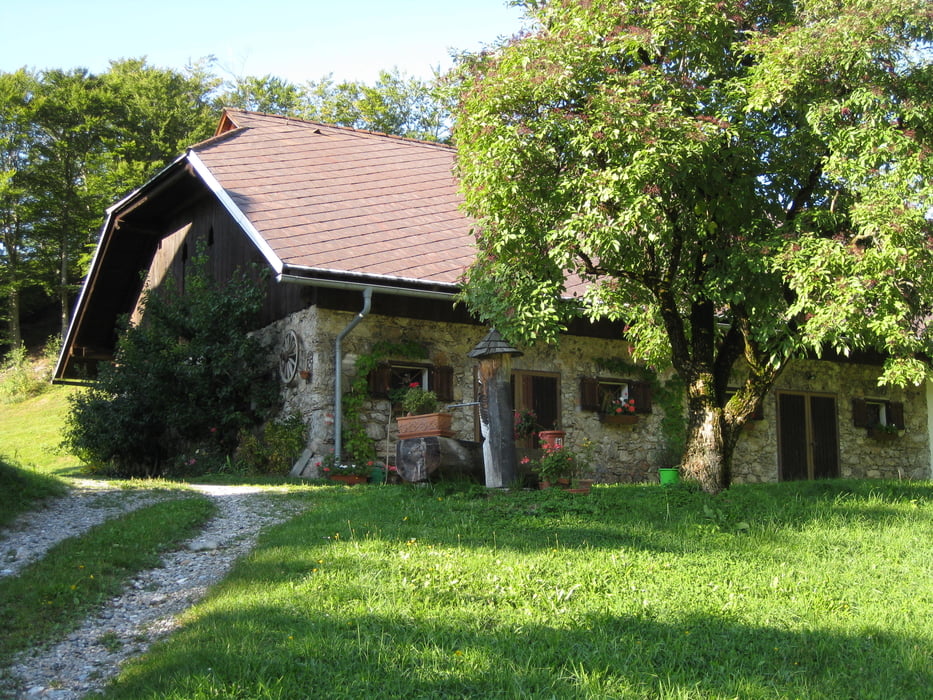

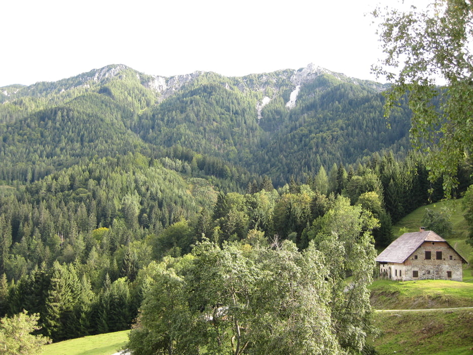
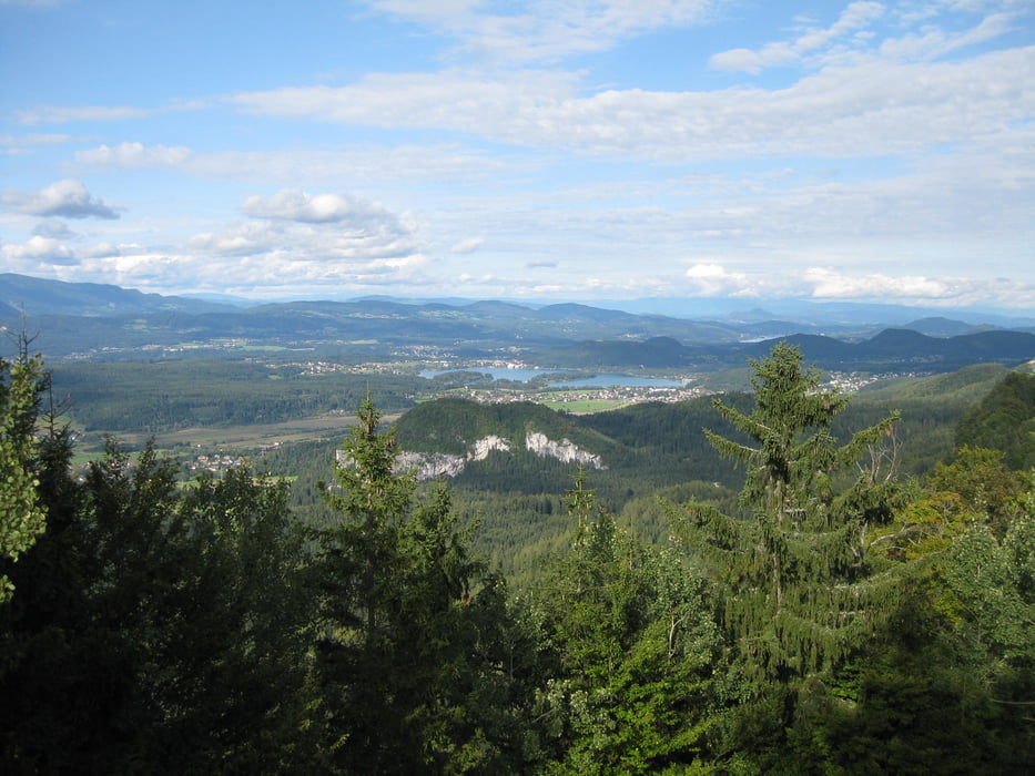
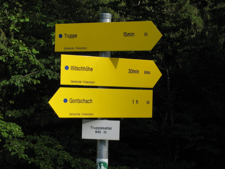
Eine kurze Bergtour zu einem ehemaligen Bergbauerngehöft auf 1000 hm (Truppe ) mit schöner Aussicht auf den Faaker u. Wörther See. Dann geht es weiter, unwegsam aber markiert (MTB ca 100 m tragen) zum Illitsch. Von dort hinunter und dann wieder hinauf nach Altfinkenstein (Burgruine). Dann der Strasse entlang nach Outschena. Eine Einkehr bei der Buschenschenke Ischnig zu einer zuenftigen Jause am Fusse des Mittagskogels ist sehr empfehlenswert.
Galerie du tour
Carte du tour et altitude
Minimum height 528 m
Maximum height 1007 m
More about the tour author
|
|
jtruppe |
Commentaires

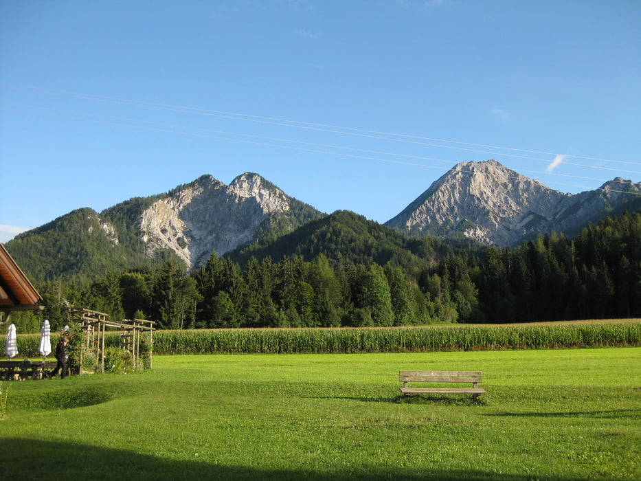
Ausgangspunkt Hotel Zollner in Gödersdorf
Tracks GPS
Trackpoints-
GPX / Garmin Map Source (gpx) download
-
TCX / Garmin Training Center® (tcx) download
-
CRS / Garmin Training Center® (crs) download
-
Google Earth (kml) download
-
G7ToWin (g7t) download
-
TTQV (trk) download
-
Overlay (ovl) download
-
Fugawi (txt) download
-
Kompass (DAV) Track (tk) download
-
Feuille de tours (pdf) download
-
Original file of the author (gpx) download
More about the tour author
|
|
jtruppe |
Add to my favorites
Remove from my favorites
Edit tags
Open track
My score
Rate