Login

Login oublié ?

Cookies have to be accepted!
Your browser's cookie functionality is disabled. Please enable this functionality.

Not a member yet?

Register now
Login

Available for registred users only

Log in to use this feature.

Login oublié ?

Cookies have to be accepted!
Your browser's cookie functionality is disabled. Please enable this functionality.

Not a member yet?

Register now
Filter
Catégories
Advanced filters
  • Longueur (km)
  • Altimètre
Enregistrer le filtre Reset filter

TrackRank

QRCode

Technical data

Longueur46,2 km Altimètre1506 m Way down1517 m Durée02:45 h:m Date07.09.2009
Evaluations Author User Paysage Aspect amusement Condition Technique

Statistiques

852 Vues 1 Evaluation 201 Téléchargements 4.00 Moyenne
Rate
  • Feuille de tours
  • Arrivée
  • Téléchargements
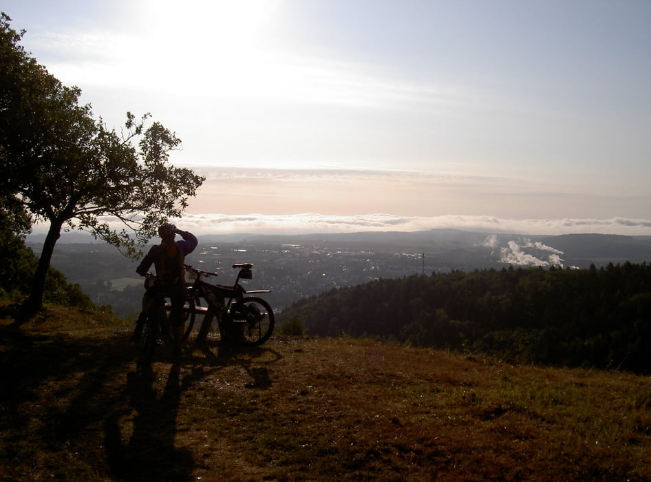
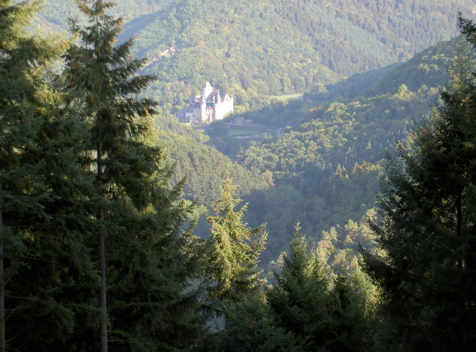
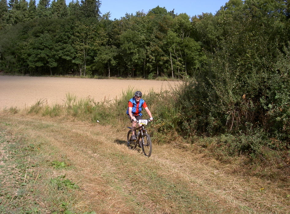
CTF Mayen am Morgen um 8:30 bei nur 9 Grad bei Sonne und Nebel gestartet. Nach den ersten Anstiegen wurde es mir endlich warm und wir fuhren auf schönen befestigten Wegen eine schöne Tour. Diese Fahrt führt durch sehr schöne Wälder und Landschaften. Fahrtechnisch stellt die Tour keine besonderen Fähigkeiten sodaß sie für jedermann fahrbar ist. Vielen Dank nochmals an den Radfahrverein Mayen für die perfekt ausgerichtete Tour.

Galerie du tour

Carte du tour et altitude

  • Open Street Map
  • Google
Minimum height 235 m Maximum height 569 m Vue de détail

More about the tour author

Adler1
Member since 2008

Send private message

Commentaires

Tracks GPS

Trackpoints
  • GPX / Garmin Map Source (gpx) download
  • TCX / Garmin Training Center® (tcx) download
  • CRS / Garmin Training Center® (crs) download
  • Google Earth (kml) download
  • G7ToWin (g7t) download
  • TTQV (trk) download
  • Overlay (ovl) download
  • Fugawi (txt) download
  • Kompass (DAV) Track (tk) download
  • Feuille de tours (pdf) download
  • Original file of the author (gpx) download

More about the tour author

Adler1
Member since 2008

Send private message
Share track
Add to my favorites
Remove from my favorites
Edit tags
My score
Rate
Tour: CTF Mayen 2009
Cat.: Mountainbike
Longueur: 46,2 km
Evaluated on:
Durée:
Day(s)
Hour(s)
Minute(s)
Evaluation: Paysage Aspect amusement Condition Technique