
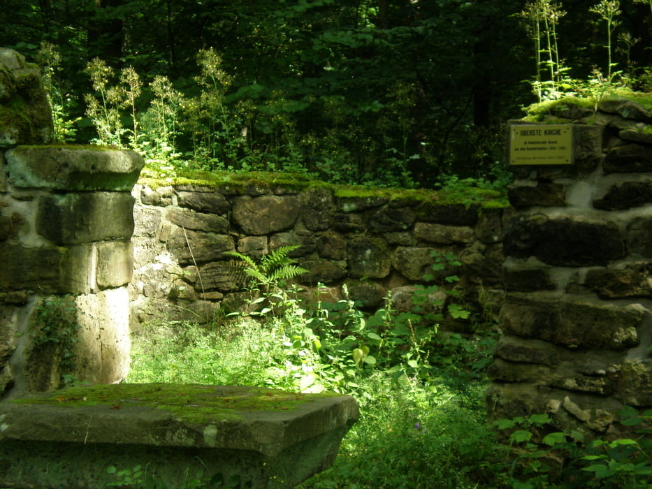

Zur Obersten Kirche
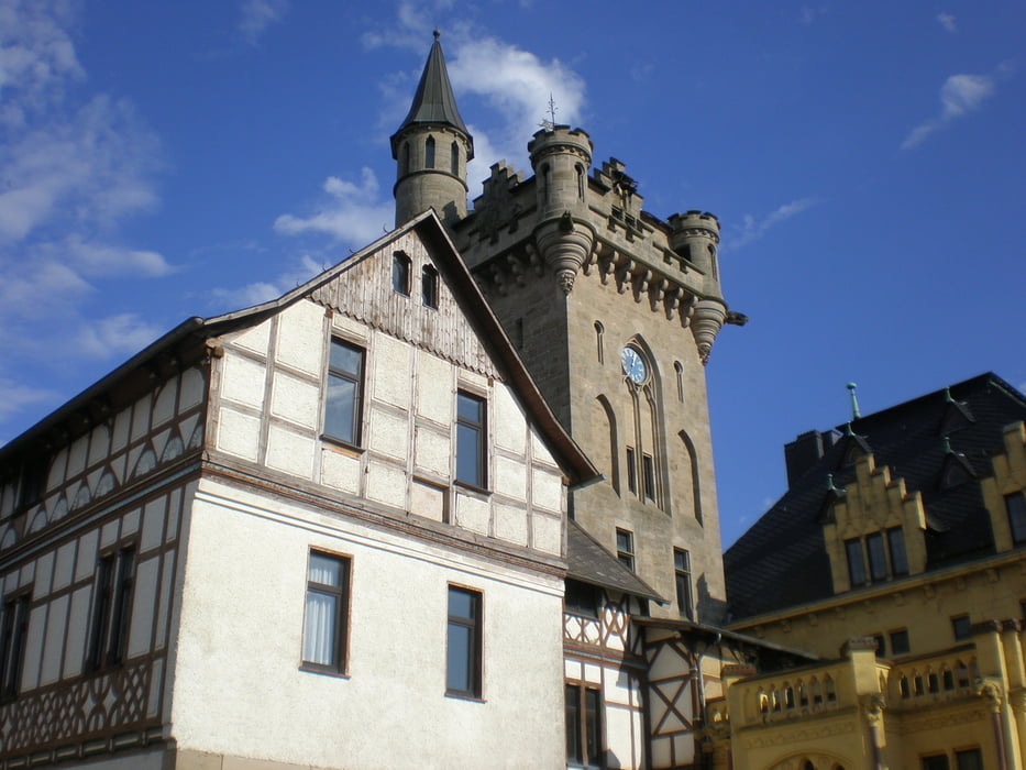
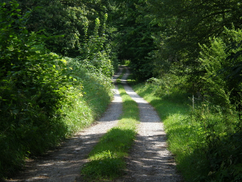
Wir starten am Bahnhof und fahren in Richtung Stadtteil Allendorf. Wir unterqueren die Bundestrasse und fahren über die Werrabrücken. Hinter der 2. Werrabrücke biegen wir rechts in den Radweg ein. Wir folgen dem Radweg, vorbei am Sportzentrum Eilse, bis wir den Schotterweg erreichen, dem wir bis zum Ende folgen. Am Ende biegen wir links ab, um nach 100 Metern wieder rechts ab zu biegen. Wir erreichen nun die ehemalige Schlossgärtnerei und biegen kurz vorher links ab. Hier beginnt der Weg Nummer 26, dem wir vorbei am Kregershäuschen, der Obersten Kirche und Schloss Rothestein folgen. Dem Schloss bitte unbedingt einen kurzen Besuch abstatten und den herrlichen Blick über das Werratal genießen. Wir fahren weiter auf der Schlossstraße bergab, bis wir wider die Schlossgärtnerei erreichen. Wir fahren nun zurück nach Bad Sooden Allendorf.
Further information at
http://www.bikefuehrer-werra-meissner.deGalerie du tour


Carte du tour et altitude
Minimum height 150 m
Maximum height 372 m
More about the tour author
|
|
Durstiger Mann |
Commentaires

Tracks GPS
Trackpoints-
GPX / Garmin Map Source (gpx) download
-
TCX / Garmin Training Center® (tcx) download
-
CRS / Garmin Training Center® (crs) download
-
Google Earth (kml) download
-
G7ToWin (g7t) download
-
TTQV (trk) download
-
Overlay (ovl) download
-
Fugawi (txt) download
-
Kompass (DAV) Track (tk) download
-
Feuille de tours (pdf) download
-
Original file of the author (gpx) download
More about the tour author
|
|
Durstiger Mann |
Add to my favorites
Remove from my favorites
Edit tags
Open track
My score
Rate