


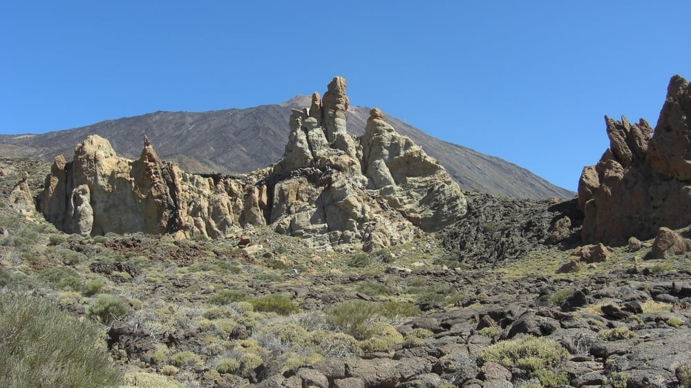
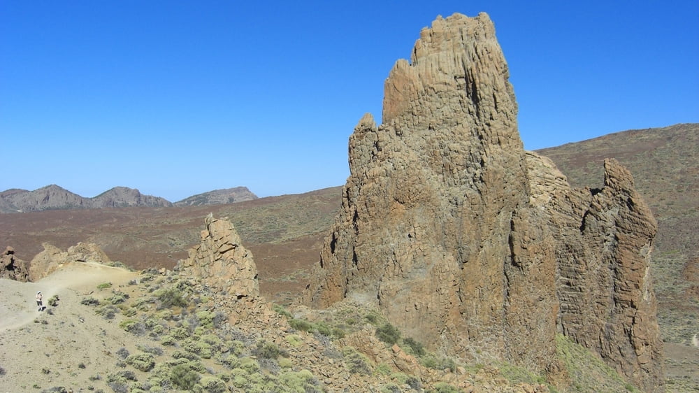
Unvergessliche Runde um die bizarrste Felsengruppe der Canadas.
Vom Aussichtsplateau startet unsere Wanderung. Wir halten uns rechts und steigen hinab ins Tal und folgen dem Weg No.3. Unser Weg führt uns an einzigartigen Felsgebilden vorbei. Steinmännchen zeigen uns den Weg an einem Lavastrom vorbei. Der Rückweg führt uns am Finger Gottes vorbei zum Ausgangspunkt.
Further information at
http://www.portal-de-canarias.com/html/los_roques_teide_teneriffa.htmlGalerie du tour
Carte du tour et altitude
Minimum height 2038 m
Maximum height 2191 m
More about the tour author

|
Hillclimber |
Commentaires

■Von Puerto de la Cruz nach La Orotava auf die TF-21 hinauf in den Nationalpark bis zum Besucherzentrum 'Parador Nacional de las Canadas'
■Von Santa Cruz in Richtung Vilaflor auf die TF21 und weiter hinauf zum Nationalpark bis zum Besucherzentrum 'Parador Nacional de las Canadas'
■Vom Westen zwischen Santiago del Teide und Guia de Isora folgt man der TF-38 hinauf zur TF-21Tracks GPS
Trackpoints-
GPX / Garmin Map Source (gpx) download
-
TCX / Garmin Training Center® (tcx) download
-
CRS / Garmin Training Center® (crs) download
-
Google Earth (kml) download
-
G7ToWin (g7t) download
-
TTQV (trk) download
-
Overlay (ovl) download
-
Fugawi (txt) download
-
Kompass (DAV) Track (tk) download
-
Feuille de tours (pdf) download
-
Original file of the author (gpx) download
More about the tour author
|
|
Hillclimber |
Add to my favorites
Remove from my favorites
Edit tags
Open track
My score
Rate