


Hier an dieser Stelle nur ein paar Stichpunkte:
- Am Anfang der Stecke sind die Waldweg sehr gut zu fahren
- Abfahrten machten am meisten Spaß vom Ottenberg und vor allem vom Buchberg
- Beste Aussicht bietete die Burgruine Wolfstein
- Der Abschnitt durch die Schlierferhaide (Nähe Greißelbach) ist sehr sandig
- Ende September war die Strecke überwiegend trocken befahrbar, wenige Regentage vorher
- Gute Einkehrmöglichkeit bietet der Ort "Am Höhenberg"
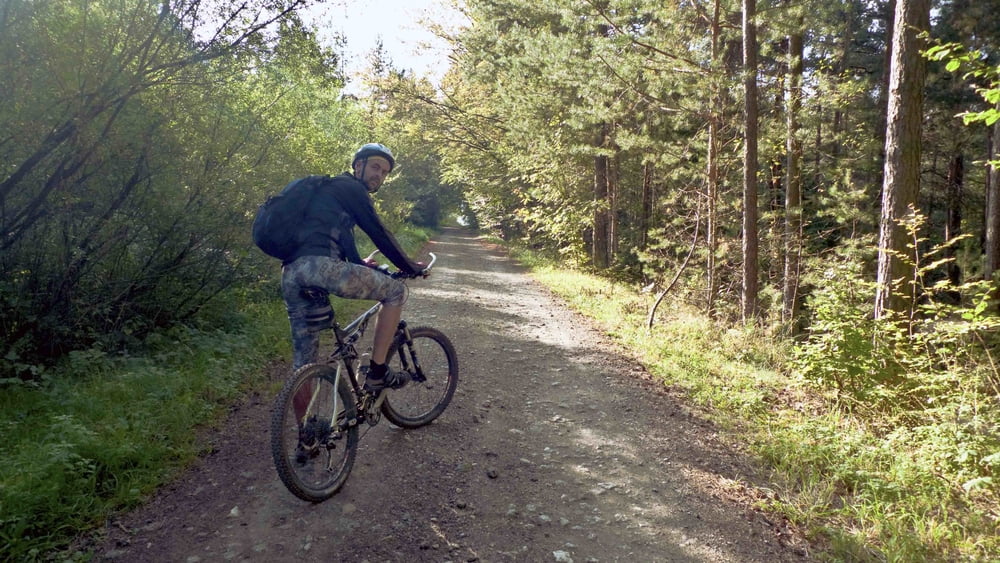
Galerie du tour


Carte du tour et altitude
Minimum height 398 m
Maximum height 587 m
More about the tour author

|
brauh2002 |
Commentaires

Am besten mit dem Zug an- und abreisen
Wer z.B. von Nürnberg kommt, kann das VGN-Tagesticket nutzen.
Wer z.B. von Nürnberg kommt, kann das VGN-Tagesticket nutzen.
Tracks GPS
Trackpoints-
GPX / Garmin Map Source (gpx) download
-
TCX / Garmin Training Center® (tcx) download
-
CRS / Garmin Training Center® (crs) download
-
Google Earth (kml) download
-
G7ToWin (g7t) download
-
TTQV (trk) download
-
Overlay (ovl) download
-
Fugawi (txt) download
-
Kompass (DAV) Track (tk) download
-
Feuille de tours (pdf) download
-
Original file of the author (gpx) download
More about the tour author
|
|
brauh2002 |
Add to my favorites
Remove from my favorites
Edit tags
Open track
My score
Rate