


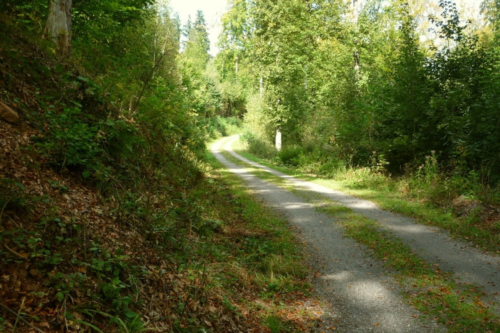
Am Parkplatz beim Gasthaus "Hackermühle" überqueren wir die Würm und wandern flussabwärts in einem romantischen Tal entlang der Würm bis zur Dollbronner Brücke.
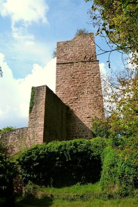
Hier überqueren wir wieder die Würm und die Landstraße und folgen rund 1 km dem Wanderweg mit der schwarz-roten-Raute in einem Anstieg bis zur Burgruine Liebeneck.
Wer es etwas urwüchsiger mag, folgt an der ersten scharfen Wegbiegung einem schmalen, steilen Fußpfad bis zur Burgruine. Hier gibt es eine Rastmöglichkeit mit einigen Tischen und Bänken.
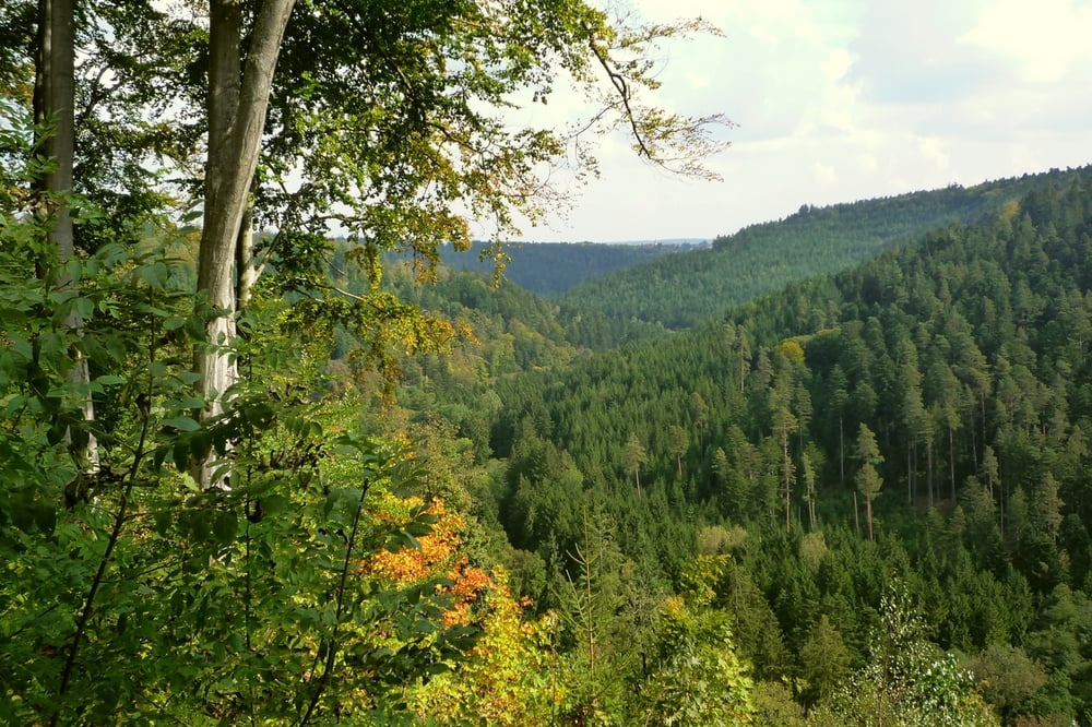
Wir wandern zunächst entlang dem Würmhaldeweg (blaue Raute) mit schönen Ausblicken hinunter ins Würmtal bis zu einer Y-Weggabelung, wo wir uns schräg links halten und dem Immelsbrunnenweg folgen.
Ein kurzes Stück entlang der Landstraße und einem Randbezirk von Tiefenbronn gelangen wir wieder hinunter ins Tal, überqueren die Landstraße und eine Brücke und wandern entlang der Würm wieder zurück zu unserem Ausgangpunkt..
Galerie du tour
Carte du tour et altitude
Minimum height 302 m
Maximum height 456 m
More about the tour author

|
Andi_26 |
Commentaires
Parkmöglichkeit beim Gasthaus "Hackermühle" an der Landstraße L572 zwischen Steinegg und Würm
Tracks GPS
Trackpoints-
GPX / Garmin Map Source (gpx) download
-
TCX / Garmin Training Center® (tcx) download
-
CRS / Garmin Training Center® (crs) download
-
Google Earth (kml) download
-
G7ToWin (g7t) download
-
TTQV (trk) download
-
Overlay (ovl) download
-
Fugawi (txt) download
-
Kompass (DAV) Track (tk) download
-
Feuille de tours (pdf) download
-
Original file of the author (gpx) download
More about the tour author
|
|
Andi_26 |
Add to my favorites
Remove from my favorites
Edit tags
Open track
My score
Rate
Tour #46406: Rundtour Tiefenbronn - Würmtal - Ruin
Burgruine wird allerdings auf dem Track nicht erreicht, Beschreibung mißverständlich