


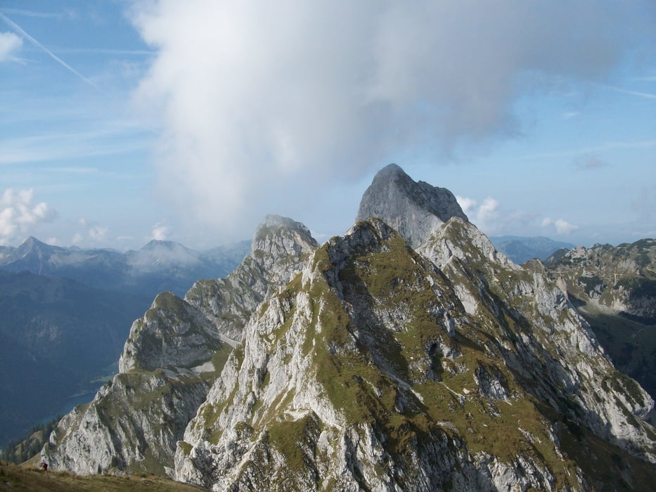
Anspruchsvolle Bergtour auf den höchsten Gipfel der Thannheimer Gruppe.
Tourenverlauf:
- Ausgangspunkt ist der Parkplatz Bärenfalle (850m)
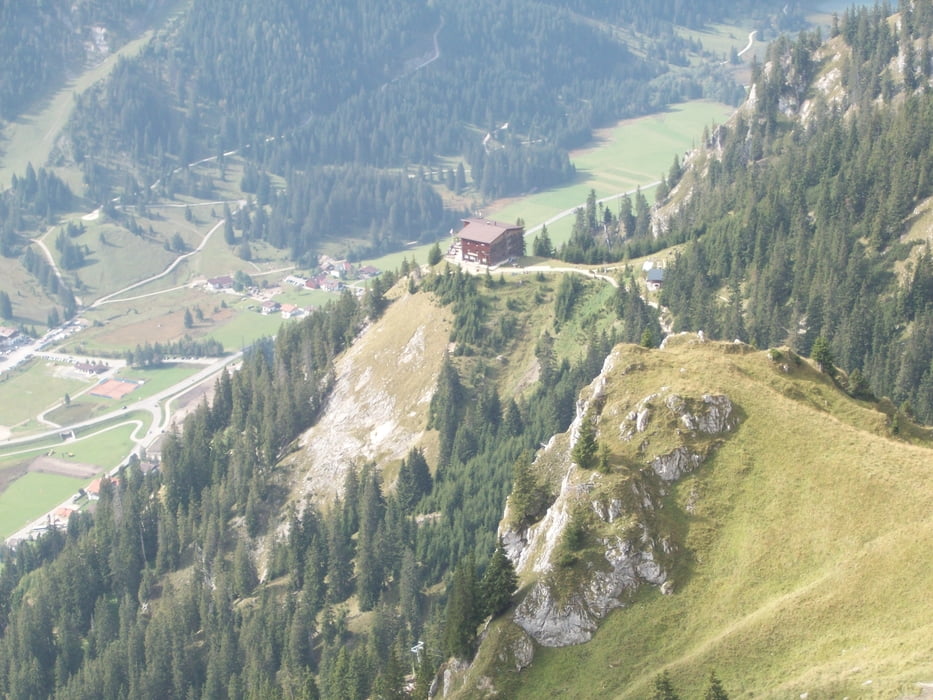
- Schotterweg (ca. 4,5km) zur Musauer Alm (1290m)
- Nach etwa 1 km geht es zunächst über einen Holzsteg und dann steil bergauf zur Nesselwängler Scharte (2007m)
- Abzweig zum nordseitigem Aufstieg zur Kellenspitze (2238m)
- Trittsicherheit und Schwindelfreiheit unbedingt erforderlich!
- Abstieg zur Nesselwängler Scharte und Querung zum Sabajoch (1860m)
- Weiterer Abstieg durch das Almgebiet der Sabacher Galtalpe hinunter zur Musauer Alm
- Auf gleichen Weg wieder zurück zum Parkplatz
Galerie du tour


Carte du tour et altitude
Minimum height 854 m
Maximum height 2053 m
More about the tour author
|
|
Staudenbiker |
Commentaires

Tracks GPS
Trackpoints-
GPX / Garmin Map Source (gpx) download
-
TCX / Garmin Training Center® (tcx) download
-
CRS / Garmin Training Center® (crs) download
-
Google Earth (kml) download
-
G7ToWin (g7t) download
-
TTQV (trk) download
-
Overlay (ovl) download
-
Fugawi (txt) download
-
Kompass (DAV) Track (tk) download
-
Feuille de tours (pdf) download
-
Original file of the author (gpx) download
More about the tour author
|
|
Staudenbiker |
Add to my favorites
Remove from my favorites
Edit tags
Open track
My score
Rate