


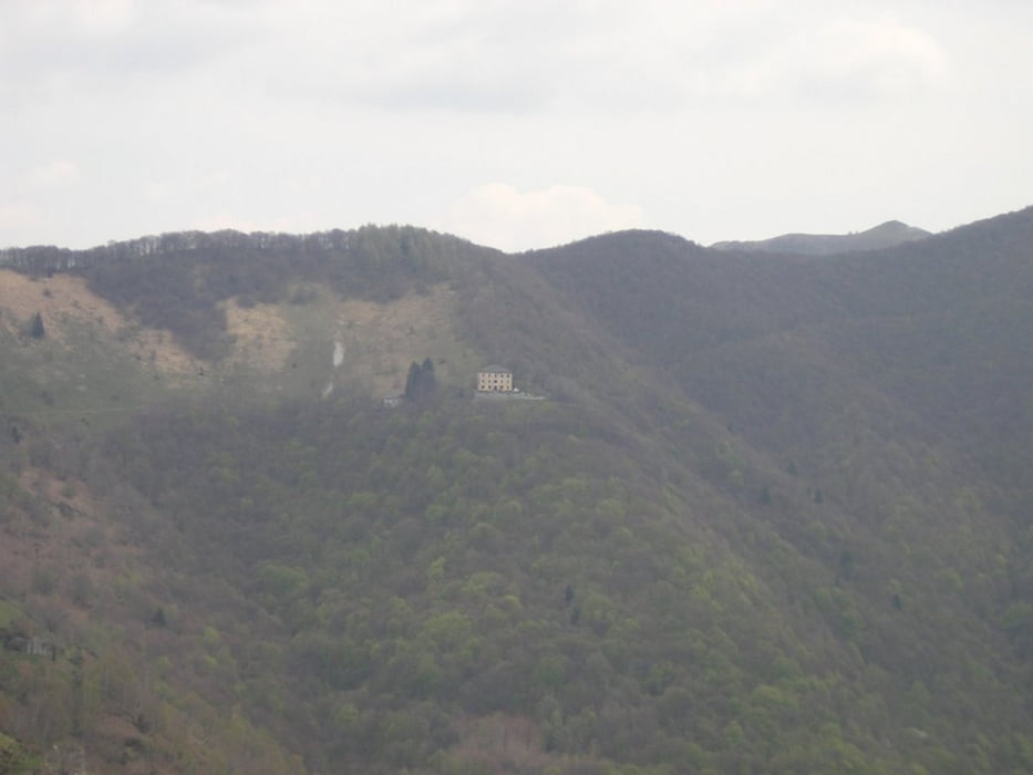
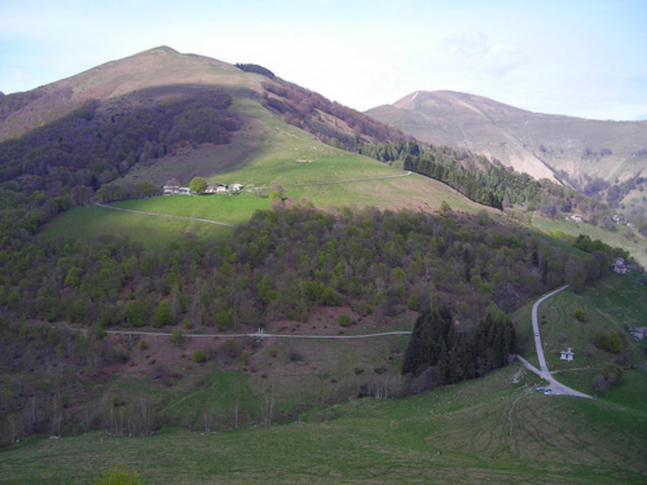
Ecco un'altra Alta Via di mia invenzione. l'Alta Via Larina Occidentale, la sponda ovest del lago di como specialmente nella sua parte meridionale è una zona poco frequentata che da la possibilità di godersi in pace e solitudine la bellezza delle montagne.
i panorami che si godono da questa Alta Via sono molteplici, dal Gruppo del Rosa fino alle Cime della valtellina, Val Malenco e Val Masino.
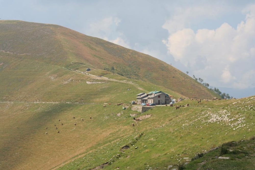
La via si snoda da Sud a Nord seguento le principali cime che si affacciano sul lago, i rifugi non comprono tutto il tragitto quindi è necessario portare con se sacco a pelo e tenda per la notte.
non ci sono difficoltà oggettive serve solo un po di allenamento e di esperienza di vita all'aria aperta.
Galerie du tour
Carte du tour et altitude
Minimum height 297 m
Maximum height 2065 m
More about the tour author
|
|
fassori |
Commentaires

Tracks GPS
Trackpoints-
GPX / Garmin Map Source (gpx) download
-
TCX / Garmin Training Center® (tcx) download
-
CRS / Garmin Training Center® (crs) download
-
Google Earth (kml) download
-
G7ToWin (g7t) download
-
TTQV (trk) download
-
Overlay (ovl) download
-
Fugawi (txt) download
-
Kompass (DAV) Track (tk) download
-
Feuille de tours (pdf) download
-
Original file of the author (gpx) download
More about the tour author
|
|
fassori |
Add to my favorites
Remove from my favorites
Edit tags
Open track
My score
Rate